



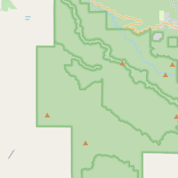
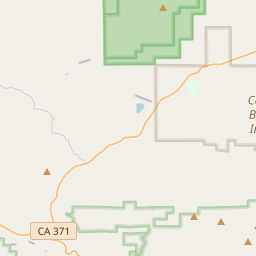
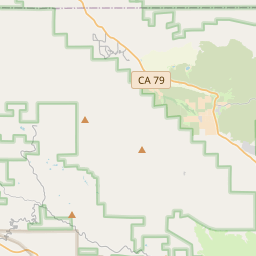

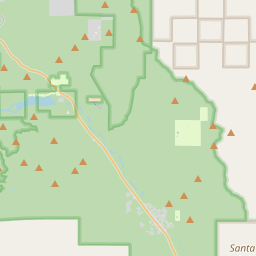


Start here
The 3 places worth the trip

Places near Aguanga by type
All 223 places by distance →One day from Aguanga
5 stops, one loop, back by 3:23 pm
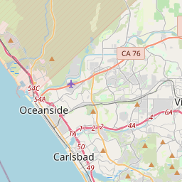
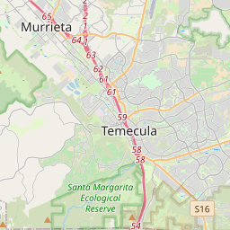
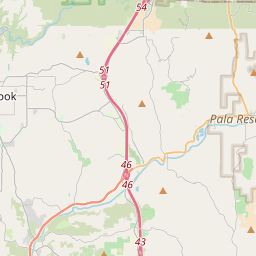
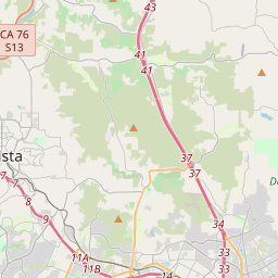
105 km on the road, in driving order so you don’t double back. Times assume an 8 am start and typical visit lengths.
- Leave Aguanga
- High Pointviewpoint · 1 hrs
- Butterfield Stage Parkviewpoint · 1 hrs
- Oak Mountainviewpoint · 1 hrs
- Vail Lakelake · 45 min
- Cahuilla Mountainviewpoint · 1 hrs
- Back in Aguanga
Questions people ask
What are the best places to visit near Aguanga?
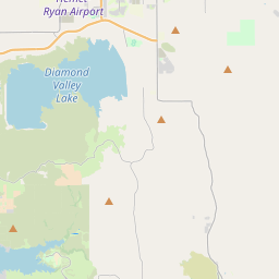
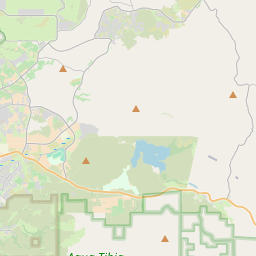
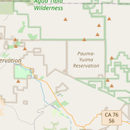
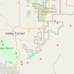
High Point (viewpoint, about 12 km), Vail Lake (lake, about 14 km), Oak Mountain (viewpoint, about 17 km), Cahuilla Mountain (viewpoint, about 21 km), Butterfield Stage Park (viewpoint, about 25 km), Pauba Ridge Park (viewpoint, about 26 km).
How many tourist places are there within 50 km of Aguanga?
37 places on Spotwander: 21 hill stations & viewpoints, 4 wildlife, forests & gardens, 6 lakes, dams & reservoirs, 3 churches, 1 attraction.
Which is the nearest viewpoint to Aguanga?
High Point, about 12 km by road; Oak Mountain (17 km) is next.
Which is the nearest sanctuary to Aguanga?
Cleveland National Forest, about 32 km by road; Santa Margarita Ecological Reserve (36 km) is next.
What is a good one-day trip from Aguanga?
Start in Aguanga, visit High Point, then Butterfield Stage Park, then Oak Mountain, then Vail Lake, then Cahuilla Mountain, and drive back — about 105 km by road in all.