

Start here
The 3 places worth the trip

Places near Chalchihuites by type
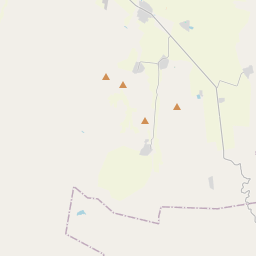
All 238 places by distance →One day from Chalchihuites
5 stops, one loop, back by 6:23 pm
135 km on the road, in driving order so you don’t double back. Times assume an 8 am start and typical visit lengths.
- Leave Chalchihuites
- Alta Vistaheritage site · 1.5 hrs
- Reserva de la Biosfera La Michilíanature spot · 2 hrs
- Puerto La Desgraciadaviewpoint · 1 hrs
- Cristo Reyheritage site · 1.5 hrs
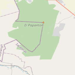
- Cerro El Papantónviewpoint · 1 hrs
- Back in Chalchihuites
Questions people ask
What are the best places to visit near Chalchihuites?
Alta Vista (heritage site, about 8 km), Puerto La Desgraciada (viewpoint, about 28 km), Puerto La Esmeralda (viewpoint, about 4 km), Cerro El Papantón (viewpoint, about 31 km), Picacho El Pelón (viewpoint, about 6 km), Picacho Montoso (viewpoint, about 7 km).
How many tourist places are there within 50 km of Chalchihuites?
101 places on Spotwander: 28 hill stations & viewpoints, 21 churches, 6 lakes, dams & reservoirs, 23 other attractions, 10 parks.
Which is the nearest viewpoint to Chalchihuites?
Puerto La Esmeralda, about 4 km by road; Picacho El Pelón (6 km) is next.
Which is the nearest church to Chalchihuites?
Inmaculada Concepción, about 21 km by road; Emmanuel (37 km) is next.
What is a good one-day trip from Chalchihuites?
Start in Chalchihuites, visit Alta Vista, then Reserva de la Biosfera La Michilía, then Puerto La Desgraciada, then Cristo Rey, then Cerro El Papantón, and drive back — about 135 km by road in all.