



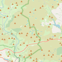
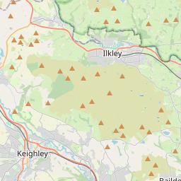
Start here
The 3 places worth the trip
Places near Embsay by type
All 298 places by distance →One day from Embsay
5 stops, one loop, back by 12:38 pm
45 km on the road, in driving order so you don’t double back. Times assume an 8 am start and typical visit lengths.
- 8:00 amLeave Embsay
- 8:20 amChurch of St Peter · church · 30 min
- 8:57 amSt Andrew · church · 30 min
- 9:33 amSharp Haw · viewpoint · 1 hrs
- 10:50 amSaint Michael and All Angels · church · 30 min
- 11:26 amThorpe Fell Top · viewpoint · 1 hrs
- 12:38 pmBack in Embsay
Questions people ask
What are the best places to visit near Embsay?
Skipton Castle (heritage site, about 3 km), Craven Museum (museum, about 3 km), Christ Church (church, about 3 km), Aireville Park (park, about 4 km), Sharp Haw (viewpoint, about 6 km), Thorpe Fell Top (viewpoint, about 8 km).
How many tourist places are there within 50 km of Embsay?
108 places on Spotwander: 32 churches, 30 hill stations & viewpoints, 20 forts & heritage, 2 parks, 2 museums.
Which is the nearest church to Embsay?
Christ Church, about 3 km by road; St Andrew (9 km) is next.
Which is the nearest viewpoint to Embsay?
Sharp Haw, about 6 km by road; Thorpe Fell Top (8 km) is next.
What is a good one-day trip from Embsay?
Start in Embsay, visit Church of St Peter, then St Andrew, then Sharp Haw, then Saint Michael and All Angels, then Thorpe Fell Top, and drive back — about 45 km by road in all.