Start here
The 3 places worth the trip
Places near Oglala by type
All 171 places by distance →One day from Oglala
5 stops, one loop, back by 7:20 pm
193 km on the road, in driving order so you don’t double back. Times assume an 8 am start and typical visit lengths.
- Leave Oglala
- Wounded Knee Massacre Siteheritage site · 1.5 hrs
- Porcupine Butteviewpoint · 1 hrs
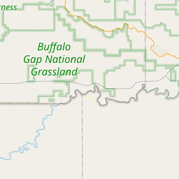
- Buffalo Gap National Grasslandnature spot · 2 hrs
- Cedar Bluffsviewpoint · 1 hrs
- Slim Butteviewpoint · 1 hrs
- Back in Oglala
Questions people ask
What are the best places to visit near Oglala?
Oglala Dam (dam, about 2 km), Wounded Knee Massacre Site (heritage site, about 39 km), Porcupine Butte (viewpoint, about 42 km), Buffalo Gap National Grassland (nature spot, about 43 km), Cedar Bluffs (viewpoint, about 23 km), Slim Butte (viewpoint, about 23 km).
How many tourist places are there within 50 km of Oglala?
56 places on Spotwander: 19 hill stations & viewpoints, 9 lakes, dams & reservoirs, 21 churches, 2 parks, 1 museum.
Which is the nearest viewpoint to Oglala?
Cedar Bluffs, about 23 km by road; Slim Butte (23 km) is next.
Which is the nearest lake to Oglala?
Oglala Dam, about 2 km by road; Colwell Reservoir (28 km) is next.
What is a good one-day trip from Oglala?
Start in Oglala, visit Wounded Knee Massacre Site, then Porcupine Butte, then Buffalo Gap National Grassland, then Cedar Bluffs, then Slim Butte, and drive back — about 193 km by road in all.