





Start here
The 3 places worth the trip


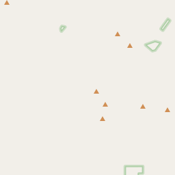
Places near Tonto Basin by type
All 242 places by distance →One day from Tonto Basin
5 stops, one loop, back by 5:05 pm
133 km on the road, in driving order so you don’t double back. Times assume an 8 am start and typical visit lengths.
- Leave Tonto Basin
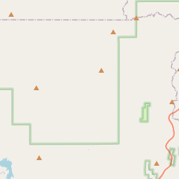
- Mistake Peakpeak · 1 hrs
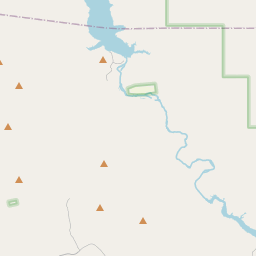
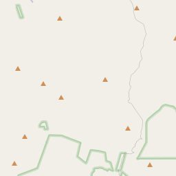
- Salome Wildernessnature spot · 2 hrs
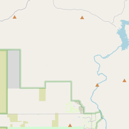
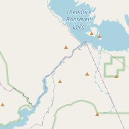
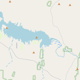
- Theodore Roosevelt Damdam · 45 min
- Browns Peakpeak · 1 hrs
- Arrowhead Mountainviewpoint · 1 hrs
- Back in Tonto Basin
Questions people ask
What are the best places to visit near Tonto Basin?
Tonto National Forest (nature spot, about 2 km), Mistake Peak (peak, about 19 km), Browns Peak (peak, about 21 km), Arrowhead Mountain (viewpoint, about 21 km), Sears-Kay Ruin (heritage site, about 2 km), Park Spring (attraction, about 5 km).
How many tourist places are there within 50 km of Tonto Basin?
77 places on Spotwander: 32 hill stations & viewpoints, 11 lakes, dams & reservoirs, 10 forts & heritage, 8 wildlife, forests & gardens, 2 other attractions.
Which is the nearest viewpoint to Tonto Basin?
Mistake Peak, about 19 km by road; Browns Peak (21 km) is next.
Which is the nearest church to Tonto Basin?
Payson Church of God, about 57 km by road; The Church of Jesus Christ of Latter-day Saints (59 km) is next.
What is a good one-day trip from Tonto Basin?
Start in Tonto Basin, visit Mistake Peak, then Salome Wilderness, then Theodore Roosevelt Dam, then Browns Peak, then Arrowhead Mountain, and drive back — about 133 km by road in all.