







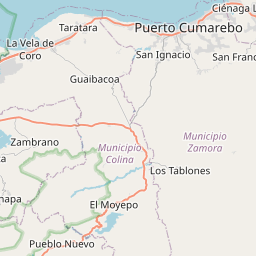


Visiting Embalse Mapará
Typical pattern: usually quiet; mostly local visitors. Been there recently? Post today’s status and it shows here for the next traveller.
Best time
During and just after the rainy season, when the water is high. Typical week: Mon quiet · Tue quiet · Wed quiet · Thu quiet · Fri light · Sat light · Sun light.
Places to visit near Embalse Mapará
All places near Churuguara →
Parque Nacional Juan Crisóstomo Falcón
sanctuary · 60 km

Parque Nacional Cueva de la Quebrada del Toro
sanctuary · 75 km
Manga de Coleo Don Guayo Schotborgh
park · 10 km
Parque Ferial Ing. Ramón Antonio Medina
park · 10 km
Plaza Bolívar
park · 10 km
Casa Parroquial de San Juan Baustista
church · 10 km
How to reach Embalse Mapará
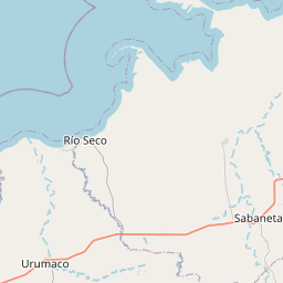
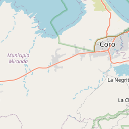
Nearest towns with a guide: Churuguara (10 km) · Siquisique (34 km) · La Cruz de Taratara (39 km). Coordinates 10.80111, -69.61167. Road distances are estimates.
Frequently asked
What is the best time to visit Embalse Mapará?
During and just after the rainy season, when the water is high. Usually quiet; mostly local visitors.
What are the places to visit near Embalse Mapará?
Nearby: Parque Nacional Juan Crisóstomo Falcón (sanctuary, 60 km), Parque Nacional Cueva de la Quebrada del Toro (sanctuary, 75 km), Manga de Coleo Don Guayo Schotborgh (park, 10 km), Parque Ferial Ing. Ramón Antonio Medina (park, 10 km), Plaza Bolívar (park, 10 km), Casa Parroquial de San Juan Baustista (church, 10 km).