



Visiting Shivers Rim
Typical pattern: usually quiet; mostly local visitors. Been there recently? Post today’s status and it shows here for the next traveller.
- Go at sunrise or sunset for the best light; carry a warm layer.
Best time
October to February for cool, clear air; July to September for mist and greenery. Typical week: Mon quiet · Tue quiet · Wed quiet · Thu quiet · Fri light · Sat light · Sun light.
Places to visit near Shivers Rim

Bridge Creek Wildlife Area
sanctuary · 26 km · Umatilla
Long Creek Mountain
viewpoint · 34 km

Ukiah-Dale Forest State Scenic Corridor
sanctuary · 34 km · Umatilla

Battle Mountain Forest State Scenic Corridor
sanctuary · 53 km · Umatilla
Magone Lake
lake · 53 km
Vinegar Hill
viewpoint · 61 km
How to reach Shivers Rim
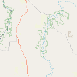
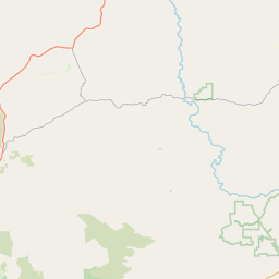
Coordinates 44.90483, -119.11625. Road distances are estimates.
Frequently asked
What is the best time to visit Shivers Rim?
October to February for cool, clear air; July to September for mist and greenery. Usually quiet; mostly local visitors.
What are the places to visit near Shivers Rim?
Nearby: Bridge Creek Wildlife Area (sanctuary, 26 km), Long Creek Mountain (viewpoint, 34 km), Ukiah-Dale Forest State Scenic Corridor (sanctuary, 34 km), Battle Mountain Forest State Scenic Corridor (sanctuary, 53 km), Magone Lake (lake, 53 km), Vinegar Hill (viewpoint, 61 km).