














Visiting Mesa Prieta
Typical pattern: usually quiet; mostly local visitors. Been there recently? Post today’s status and it shows here for the next traveller.
- Go at sunrise or sunset for the best light; carry a warm layer.
Best time
October to February for cool, clear air; July to September for mist and greenery. Typical week: Mon quiet · Tue quiet · Wed quiet · Thu quiet · Fri light · Sat light · Sun light.
Places to visit near Mesa Prieta

Iglesia de Santa Gertrudis la Magna
church · 35 km
Cerro Prieto
viewpoint · 12 km
Cerro Chapo
viewpoint · 12 km
Cerro Colorado
viewpoint · 18 km
Cerro Las Mercedes
viewpoint · 23 km
Cerro El Japón
viewpoint · 24 km
Other hill stations & viewpoints nearby
Coronado (volcano) · Municipio de San Quintín120 kmEl Aguajito · Municipio de Mulegé130 kmTres Virgenes Volcanic Complex · Municipio de Mulegé137 kmCerro la Reforma · Municipio de Mulegé149 kmCerro Prieto · Municipio de San Quintín12 kmCerro Chapo · Municipio de San Quintín12 kmHow to reach Mesa Prieta
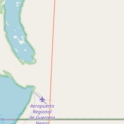
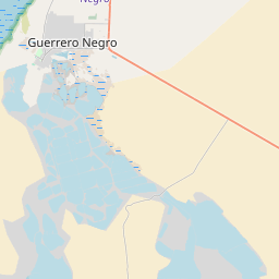
Coordinates 28.24999, -113.26171. Road distances are estimates.
Frequently asked
What is the best time to visit Mesa Prieta?
October to February for cool, clear air; July to September for mist and greenery. Usually quiet; mostly local visitors.
What are the places to visit near Mesa Prieta?
Nearby: Iglesia de Santa Gertrudis la Magna (church, 35 km), Cerro Prieto (viewpoint, 12 km), Cerro Chapo (viewpoint, 12 km), Cerro Colorado (viewpoint, 18 km), Cerro Las Mercedes (viewpoint, 23 km), Cerro El Japón (viewpoint, 24 km).
Sources. Map data © OpenStreetMap contributors (ODbL). Credits.