









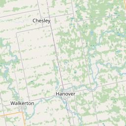

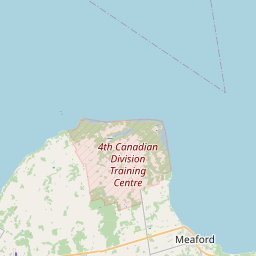
Visiting MacGregor Point
Typical pattern: usually quiet; mostly local visitors. Been there recently? Post today’s status and it shows here for the next traveller.
- Swim only where lifeguards or flags show it is safe.
Best time
May to September. Typical week: Mon quiet · Tue quiet · Wed quiet · Thu quiet · Fri light · Sat light · Sun light.
Places to visit near MacGregor Point
All places near Paisley →Sauble Falls
waterfall · 42 km
Weaver Creek Falls
waterfall · 56 km
Inglis Falls Conservation Area
waterfall · 57 km
The Glen Management Area / Mud Creek Nature Reserve
sanctuary · 59 km
Indian Falls
waterfall · 59 km
Bruce's Caves Conservation Area
cave · 63 km
How to reach MacGregor Point
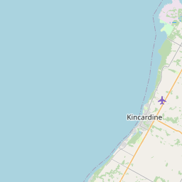
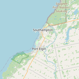
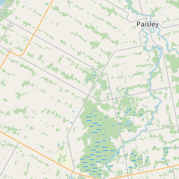
Nearest towns with a guide: Paisley (26 km) · Kincardine (36 km). Coordinates 44.41715, -81.48068. Road distances are estimates.
Frequently asked
What is the best time to visit MacGregor Point?
May to September. Usually quiet; mostly local visitors.
What are the places to visit near MacGregor Point?
Nearby: Sauble Falls (waterfall, 42 km), Weaver Creek Falls (waterfall, 56 km), Inglis Falls Conservation Area (waterfall, 57 km), The Glen Management Area / Mud Creek Nature Reserve (sanctuary, 59 km), Indian Falls (waterfall, 59 km), Bruce's Caves Conservation Area (cave, 63 km).
Sources. Map data © OpenStreetMap contributors (ODbL) · Overture Maps Foundation (CDLA-Permissive-2.0). Credits.