Visiting Cerro Codsa
Typical pattern: usually quiet; mostly local visitors. Been there recently? Post today’s status and it shows here for the next traveller.
- Go at sunrise or sunset for the best light; carry a warm layer.
Best time
October to February for cool, clear air; July to September for mist and greenery. Typical week: Mon quiet · Tue quiet · Wed quiet · Thu quiet · Fri light · Sat light · Sun light.
Places to visit near Cerro Codsa
All places near Santa Elena de Uairén →


How to reach Cerro Codsa
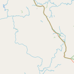
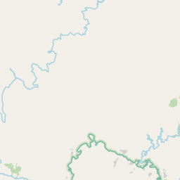
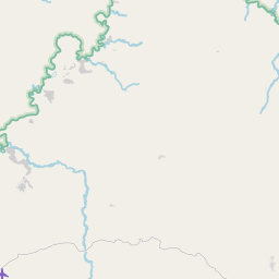
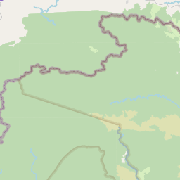
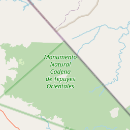
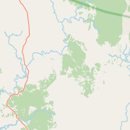
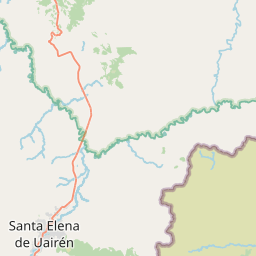
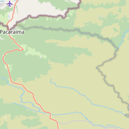
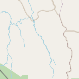
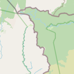
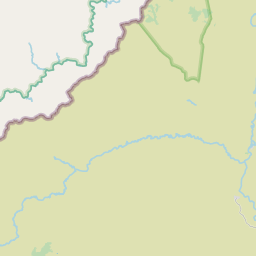
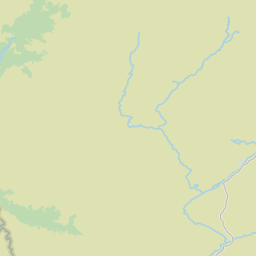
Nearest towns with a guide: Santa Elena de Uairén (24 km). Coordinates 4.76890, -61.14728. Road distances are estimates.
Frequently asked
What is the best time to visit Cerro Codsa?
October to February for cool, clear air; July to September for mist and greenery. Usually quiet; mostly local visitors.
What are the places to visit near Cerro Codsa?
Nearby: Salto Jaspe (waterfall, 21 km), Pacheco Waterfall (waterfall, 56 km), Maverick Rock (viewpoint, 74 km), Waimapué Tepuy (viewpoint, 15 km), Cerro El Indio (viewpoint, 16 km), Asapué Tepuy (viewpoint, 17 km).
Sources. Map data © OpenStreetMap contributors (ODbL). Credits.