






Visiting Mandir
Typical pattern: usually quiet; mostly local visitors. Been there recently? Post today’s status and it shows here for the next traveller.
- Go early: the light is softer and it is cooler on the ramparts.
- Wear shoes with grip for steps and uneven stone.
- Carry water; there may be no shops inside.
Hours for this heritage site are not listed yet; Protected monuments are generally open from sunrise to sunset. Most charge a small entry fee (higher for foreign visitors) and a few close one day a week. is typical for forts & heritage in India. Know them? Post an update.
Best time
October to February; carry water in summer. Typical week: Mon quiet · Tue quiet · Wed quiet · Thu quiet · Fri light · Sat light · Sun light.
Places to visit near Mandir
All places near Mahad →


How to reach Mandir
From Mahabaleshwar
About 50 km by road (40 km straight line). Directions · places near Mahabaleshwar
From Pune
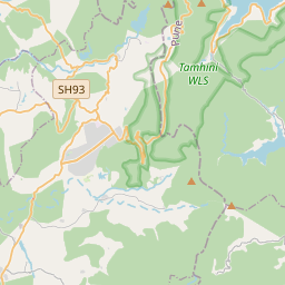
About 61 km by road (49 km straight line). Directions · places near Pune
From Lonavala
About 71 km by road (57 km straight line). Directions · places near Lonavala
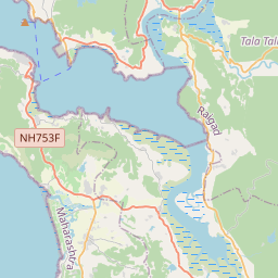
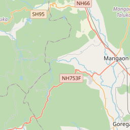
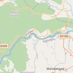
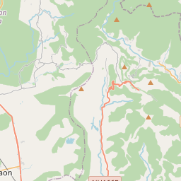
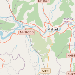
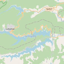
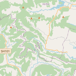
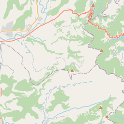
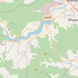
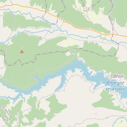
Nearest towns with a guide: Mahad (25 km) · Goregaon (30 km) · Indapur (33 km). Coordinates 18.25031, 73.49436. Road distances are estimates.
Frequently asked
What is the best time to visit Mandir?
October to February; carry water in summer. Usually quiet; mostly local visitors.
What are the timings of Mandir?
Hours for Mandir are not published here. Typical for forts & heritage in India: Protected monuments are generally open from sunrise to sunset. Most charge a small entry fee (higher for foreign visitors) and a few close one day a week. Check locally before a long trip, or see the latest visitor report on this page.
How far is Mandir from Mahabaleshwar?
Mandir is about 50 km by road from Mahabaleshwar (40 km straight line), 61 km from Pune and 71 km from Lonavala. Open the road-trip planner on Spotwander for turn-by-turn directions and stops on the way.
What are the places to visit near Mandir?
Nearby: Raigad Fort (fort, 7 km), Nanemachi Waterfalls (waterfall, 11 km), Torna Fort (fort, 17 km), Kumbhe Waterfall (waterfall, 18 km), Shivthar Ghal (temple, 22 km), Rajgad Fort (fort, 25 km).
Sources. Map data © OpenStreetMap contributors (ODbL). Credits.