










Visiting Yangchen Choling
Typical pattern: usually quiet; mostly local visitors. Been there recently? Post today’s status and it shows here for the next traveller.
- Walk clockwise around stupas and prayer wheels.
- Take off your shoes in prayer halls and do not point your feet at images of the Buddha.
- Ask before photographing monks or the inside of a prayer hall.
Hours for this Buddhist site are not listed yet; Monasteries and stupas are usually open from early morning to around sunset; prayer halls may open only at prayer times. is typical for buddhist sites in India. Know them? Post an update.
Best time
October to March. Typical week: Mon quiet · Tue quiet · Wed quiet · Thu quiet · Fri light · Sat light · Sun light.
Places to visit near Yangchen Choling
All places near Kaza →


How to reach Yangchen Choling
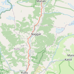
From Manali
About 88 km by road (70 km straight line). Directions · places near Manali
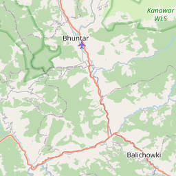
From Kullu
About 111 km by road (89 km straight line). Directions · places near Kullu
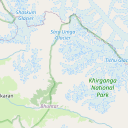
From Dharamshala
About 189 km by road (151 km straight line). Directions · places near Dharamshala
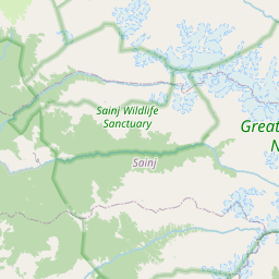
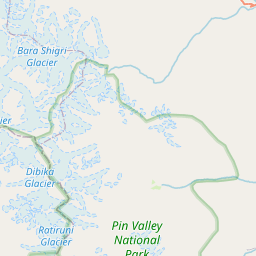
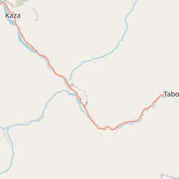
Nearest towns with a guide: Kaza (26 km). Coordinates 32.36369, 77.92214. Road distances are estimates.
Frequently asked
What is the best time to visit Yangchen Choling?
October to March. Usually quiet; mostly local visitors.
What are the timings of Yangchen Choling?
Hours for Yangchen Choling are not published here. Typical for buddhist sites in India: Monasteries and stupas are usually open from early morning to around sunset; prayer halls may open only at prayer times. Check locally before a long trip, or see the latest visitor report on this page.
How far is Yangchen Choling from Manali?
Yangchen Choling is about 88 km by road from Manali (70 km straight line), 111 km from Kullu and 189 km from Dharamshala. Open the road-trip planner on Spotwander for turn-by-turn directions and stops on the way.
What are the places to visit near Yangchen Choling?
Nearby: Key Gompa (Key Monastery) (Buddhist site, 14 km), Langza Buddha Statue (Buddhist site, 23 km), Spiti Valley (viewpoint, 26 km), Shilla (viewpoint, 33 km), (Old) Dankhar Gompa (Buddhist site, 51 km), Gya (viewpoint, 60 km).
Sources. Map data © OpenStreetMap contributors (ODbL). Credits.