





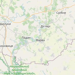
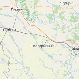

Visiting Загиблим під час 2-ї Світової Війни
Typical pattern: usually quiet; mostly local visitors. Been there recently? Post today’s status and it shows here for the next traveller.
- Opening hours change with the season; check the last entry time.
- Wear shoes with grip for steps and uneven stone.
Best time
October to February; carry water in summer. Typical week: Mon quiet · Tue quiet · Wed quiet · Thu quiet · Fri light · Sat light · Sun light.
Places to visit near Загиблим під час 2-ї Світової Війни
All places near Yahotyn →
Supiy
lake · 14 km

Museum of Folk Architecture and Way of Life of Middle Naddnipryanschina
museum · 25 km · Cherkasy Raion

Regional Landscape Park «Trahtemyriv»
sanctuary · 46 km · Cherkasy Raion
Kaniv Reservoir
lake · 46 km · Cherkasy Raion

Kanivs'kyi Nature Reserve
sanctuary · 61 km · Cherkasy Raion

Канівський Успенський собор Святого Георгія
church · 66 km · Cherkasy Raion
Other forts & heritage nearby
Т. Г. Шевченко · Cherkasy Raion68 kmMonument to Taras Shevchenko · Pryluky Raion87 kmVolodymyr Monomakh Monument · Pryluky Raion87 kmМикола Гоголь · Kyiv Oblast95 kmMonument to Kyiv Founders · Kyiv Oblast96 kmMonument of Eternal Glory at the Tomb of the Unknown Soldier · Kyiv Oblast98 kmHow to reach Загиблим під час 2-ї Світової Війни
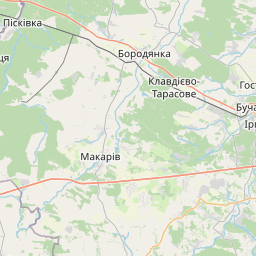
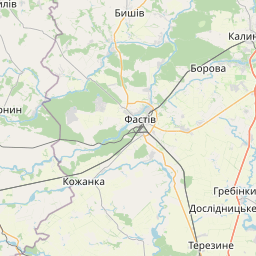
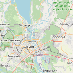
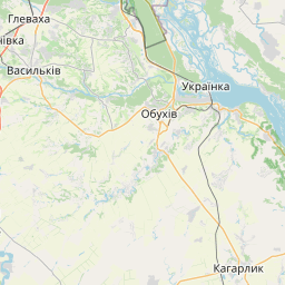
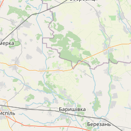
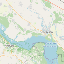
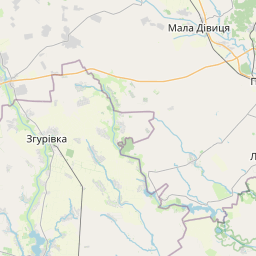
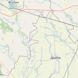
Nearest towns with a guide: Yahotyn (17 km) · Pereiaslav-Khmelnytskyi (25 km) · Chernyakhivka (29 km). Coordinates 50.21727, 31.60448. Road distances are estimates.
Frequently asked
What is the best time to visit Загиблим під час 2-ї Світової Війни?
October to February; carry water in summer. Usually quiet; mostly local visitors.
What are the places to visit near Загиблим під час 2-ї Світової Війни?
Nearby: Supiy (lake, 14 km), Museum of Folk Architecture and Way of Life of Middle Naddnipryanschina (museum, 25 km), Regional Landscape Park «Trahtemyriv» (sanctuary, 46 km), Kaniv Reservoir (lake, 46 km), Kanivs'kyi Nature Reserve (sanctuary, 61 km), Канівський Успенський собор Святого Георгія (church, 66 km).
Sources. Map data © OpenStreetMap contributors (ODbL). Credits.