






Visiting Burrinja
Typical pattern: usually quiet; mostly local visitors. Been there recently? Post today’s status and it shows here for the next traveller.
- Check opening days and whether tickets must be booked ahead.
Hours for this museum are not listed yet; Many museums close one day a week (often Monday) and on public holidays. is typical for museums in Australia. Know them? Post an update.
Best time
Year-round; check the weekly closing day. Typical week: Mon quiet · Tue quiet · Wed quiet · Thu quiet · Fri light · Sat light · Sun light.
Places to visit near Burrinja
All places near Burwood →
Royal Exhibition Building
attraction · 43 km · City of Melbourne
Upwey / Belgrave RSL
museum · 2 km
Borthwick Park Reserve
park · 2 km
Southern Sherbrooke Historical Society
museum · 3 km

1 Road (Headshunt)
fort · 3 km
Puffing Billy Railway
attraction · 3 km
Other museums nearby
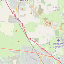
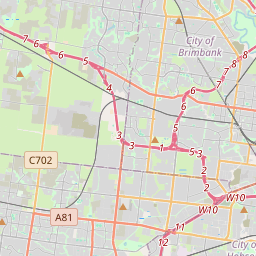
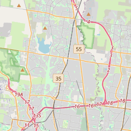
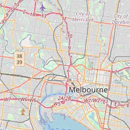
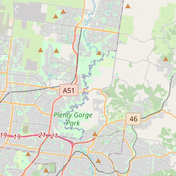
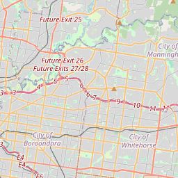
Upwey / Belgrave RSL · Shire of Yarra Ranges2 kmSouthern Sherbrooke Historical Society · Shire of Yarra Ranges3 kmPeter Delahenty Art Studio · Shire of Yarra Ranges9 kmJanet Matthews Artist · City of Casey11 kmEmerald Museum · Shire of Cardinia13 kmKAPI Art Space · Shire of Yarra Ranges14 kmHow to reach Burrinja
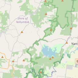
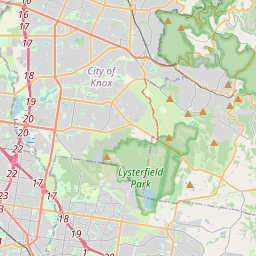
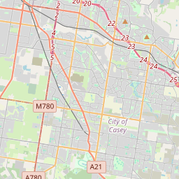
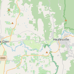
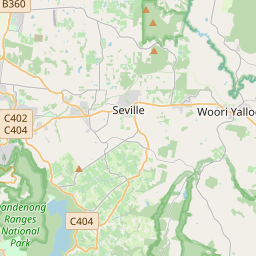
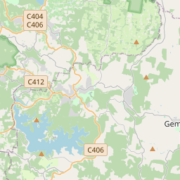
Nearest towns with a guide: Burwood (25 km) · Balwyn North (32 km) · Caulfield South (34 km). Coordinates -37.91651, 145.33458. Road distances are estimates.
Frequently asked
What is the best time to visit Burrinja?
Year-round; check the weekly closing day. Usually quiet; mostly local visitors.
What are the timings of Burrinja?
Hours for Burrinja are not published here. Typical for museums in Australia: Many museums close one day a week (often Monday) and on public holidays. Check locally before a long trip, or see the latest visitor report on this page.
What are the places to visit near Burrinja?
Nearby: Royal Exhibition Building (attraction, 43 km), Upwey / Belgrave RSL (museum, 2 km), Borthwick Park Reserve (park, 2 km), Southern Sherbrooke Historical Society (museum, 3 km), 1 Road (Headshunt) (fort, 3 km), Puffing Billy Railway (attraction, 3 km).
Sources. Map data © OpenStreetMap contributors (ODbL). Credits.