








StatusNo report yet
Best seasonMay to September
CrowdUsually quiet
Visiting Mapa
Typical pattern: usually quiet; mostly local visitors. Been there recently? Post today’s status and it shows here for the next traveller.
Best time
May to September. Typical week: Mon quiet · Tue quiet · Wed quiet · Thu quiet · Fri light · Sat light · Sun light.
Places to visit near Mapa
All places near Wrocław →


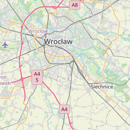
How to reach Mapa
Nearest towns with a guide: Wrocław (3 km) · Psary (10 km) · Wilczyce (10 km). Coordinates 51.11789, 17.04057. Road distances are estimates.
Frequently asked
What is the best time to visit Mapa?
May to September. Usually quiet; mostly local visitors.
What are the places to visit near Mapa?
Nearby: Centennial Hall (attraction, 4 km), Centennial Hall (fort, 4 km), Irena Sendlerowa (attraction, 62 km), Wyspa Piasek (river spot, 0 km), Kościół Najświętszej Marii Panny Na Piasku (church, 0 km), Most Tumski (fort, 0 km).
Sources. Map data © OpenStreetMap contributors (ODbL). Credits.