Visiting Punta Cotuíta
Typical pattern: usually quiet; mostly local visitors. Been there recently? Post today’s status and it shows here for the next traveller.
- Swim only where lifeguards or flags show it is safe.
Best time
Year-round; the dry season is the most comfortable. Typical week: Mon quiet · Tue quiet · Wed quiet · Thu quiet · Fri light · Sat light · Sun light.
Places to visit near Punta Cotuíta
All places near Palo Negro →

How to reach Punta Cotuíta
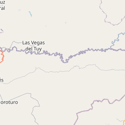
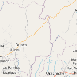
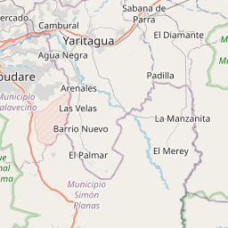
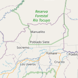
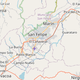
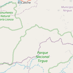
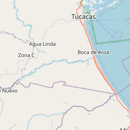
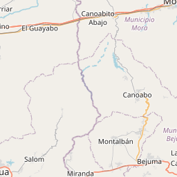
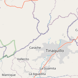
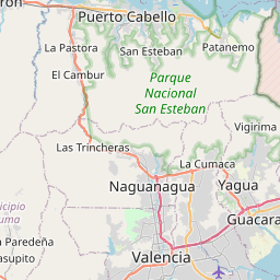
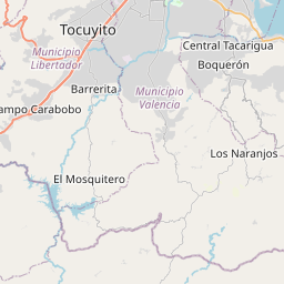
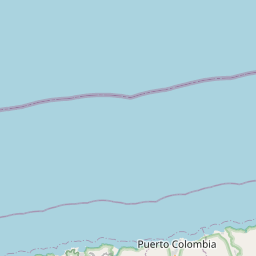
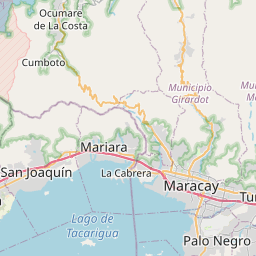
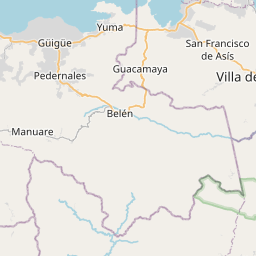
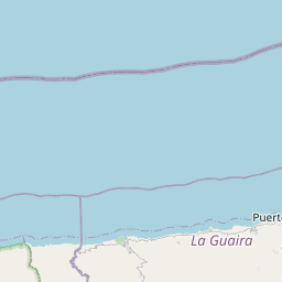
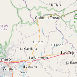
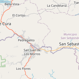
Nearest towns with a guide: Palo Negro (15 km) · Santa Rita (16 km) · Maracay (17 km). Coordinates 10.12286, -67.63711. Road distances are estimates.
Frequently asked
What is the best time to visit Punta Cotuíta?
Year-round; the dry season is the most comfortable. Usually quiet; mostly local visitors.
What are the places to visit near Punta Cotuíta?
Nearby: Playa Grande (beach, 54 km), Fortín Solano (fort, 70 km), Topo El Infierno (viewpoint, 5 km), Topo El Bejuco (viewpoint, 12 km), Tacarigua Lake (lake, 16 km), Pico El Horno (viewpoint, 16 km).
Sources. Map data © OpenStreetMap contributors (ODbL). Credits.