


Visiting Sky Path
Typical pattern: usually quiet; mostly local visitors. Been there recently? Post today’s status and it shows here for the next traveller.
- Go at sunrise or sunset for the best light; carry a warm layer.
Best time
Year-round; the dry season is the most comfortable. Typical week: Mon quiet · Tue quiet · Wed quiet · Thu quiet · Fri light · Sat light · Sun light.
Places to visit near Sky Path
All places near Thị Trấn Đồng Văn →Pao’house
viewpoint · 25 km
Quan Ba Heaven Gate
viewpoint · 58 km
Khau Lan Waterfall
waterfall · 66 km
Pai Lung Cave
cave · 1 km
360 Viewpoint
viewpoint · 2 km
Cam Vut Rac
viewpoint · 6 km
Other hill stations & viewpoints nearby
Pao’house · Tuyên Quang Province25 kmQuan Ba Heaven Gate · Tuyên Quang Province58 km360 Viewpoint · Tuyên Quang Province2 kmCam Vut Rac · Tuyên Quang Province6 kmBia Coffee Pitstop · Tuyên Quang Province10 kmCool Viewpoint of the Valley · Tuyên Quang Province12 kmHow to reach Sky Path
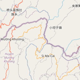
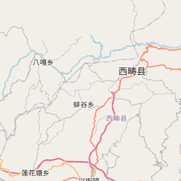
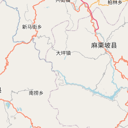
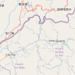
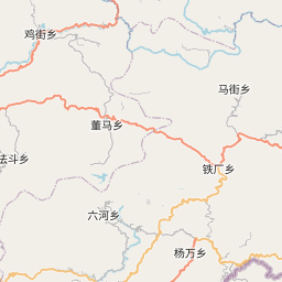
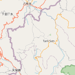
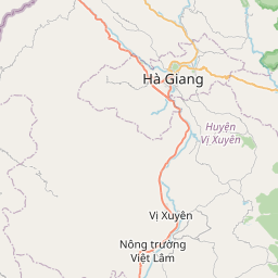
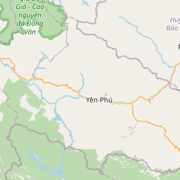
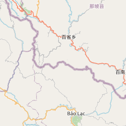
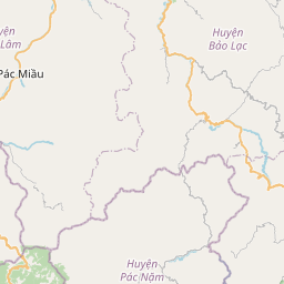
Nearest towns with a guide: Thị Trấn Đồng Văn (6 km) · Thị Trấn Mèo Vạc (12 km) · Thị Trấn Yên Minh (37 km). Coordinates 23.24953, 105.39427. Road distances are estimates.
Frequently asked
What is the best time to visit Sky Path?
Year-round; the dry season is the most comfortable. Usually quiet; mostly local visitors.
What are the places to visit near Sky Path?
Nearby: Pao’house (viewpoint, 25 km), Quan Ba Heaven Gate (viewpoint, 58 km), Khau Lan Waterfall (waterfall, 66 km), Pai Lung Cave (cave, 1 km), 360 Viewpoint (viewpoint, 2 km), Cam Vut Rac (viewpoint, 6 km).
Sources. Map data © OpenStreetMap contributors (ODbL). Credits.