






Visiting Strandfundemuseum
Typical pattern: usually quiet; mostly local visitors. Been there recently? Post today’s status and it shows here for the next traveller.
- Check opening days and whether tickets must be booked ahead.
Hours for this museum are not listed yet; Many museums close one day a week (often Monday) and on public holidays. is typical for museums in Germany. Know them? Post an update.
Best time
Year-round; check the weekly closing day. Typical week: Mon quiet · Tue quiet · Wed quiet · Thu quiet · Fri light · Sat light · Sun light.
Places to visit near Strandfundemuseum
All places near Helgoland →Georg Siin Koller
cave · 1 km · Schleswig-Holstein

Dune
river spot · 2 km

Roter Sand
attraction · 48 km · Schleswig-Holstein
Roter Sand
fort · 49 km · Lower Saxony

Vogelwärterhütte Scharhörn
fort · 54 km · Hamburg

Hamburger Haus
fort · 54 km · Hamburg
Other museums nearby
Historische Rettungsstation Harlesiel (Deutsches Sielhafenmuseum) · Landkreis Wittmund67 kmPhänomania · Kreis Dithmarschen80 kmMuseum Kunst Der Westküste · Northern Friesland89 kmMuseumskreuzer Otto Schülke · Landkreis Aurich89 kmGerman Emigration Center · Kreis Dithmarschen105 kmDeutsches Auswandererhaus · Bremerhaven105 kmHow to reach Strandfundemuseum
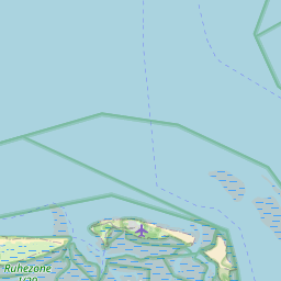
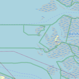
Nearest towns with a guide: Helgoland (1 km). Coordinates 54.18287, 7.88622. Road distances are estimates.
Frequently asked
What is the best time to visit Strandfundemuseum?
Year-round; check the weekly closing day. Usually quiet; mostly local visitors.
What are the timings of Strandfundemuseum?
Hours for Strandfundemuseum are not published here. Typical for museums in Germany: Many museums close one day a week (often Monday) and on public holidays. Check locally before a long trip, or see the latest visitor report on this page.
What are the places to visit near Strandfundemuseum?
Nearby: Georg Siin Koller (cave, 1 km), Dune (river spot, 2 km), Roter Sand (attraction, 48 km), Roter Sand (fort, 49 km), Vogelwärterhütte Scharhörn (fort, 54 km), Hamburger Haus (fort, 54 km).
Sources. Map data © OpenStreetMap contributors (ODbL). Credits.