









Visiting Clamshell Loop
Typical pattern: usually quiet; mostly local visitors. Been there recently? Post today’s status and it shows here for the next traveller.
- Start early, check the weather and tell someone your route.
Best time
October to February. Typical week: Mon quiet · Tue quiet · Wed quiet · Thu quiet · Fri light · Sat light · Sun light.
Places to visit near Clamshell Loop
All places near Washington →
Merryall Union Chapel
church · 10 km · Western Connecticut Planning Region

Lovers Leap State Park
sanctuary · 11 km · Western Connecticut Planning Region

Mount Bushnell State Park Scenic Reserve
sanctuary · 12 km

Lake Waramaug
lake · 13 km

Tory's Cave
cave · 13 km · Western Connecticut Planning Region

Mount Tom State Park
sanctuary · 14 km
Other treks nearby
Lillinoah Trail · Western Connecticut Planning Region21 kmMattatuck Trail · Northwest Hills Planning Region25 kmJericho Trail · Naugatuck Valley Planning Region27 kmWhitestone Cliffs Trail · Naugatuck Valley Planning Region30 kmHancock Brook Trail · Naugatuck Valley Planning Region31 kmPomperaug Trail · Naugatuck Valley Planning Region31 kmHow to reach Clamshell Loop
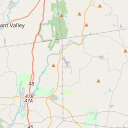
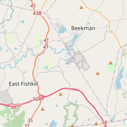
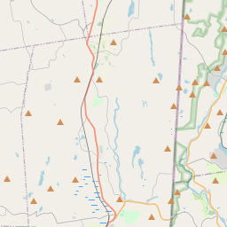
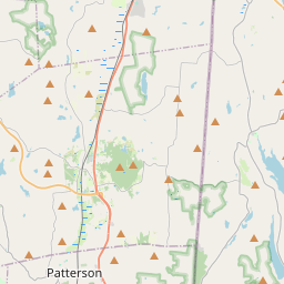
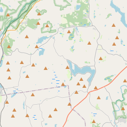
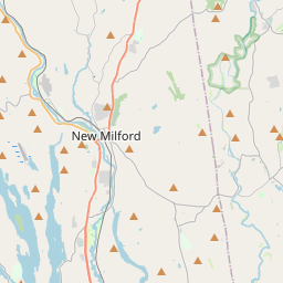
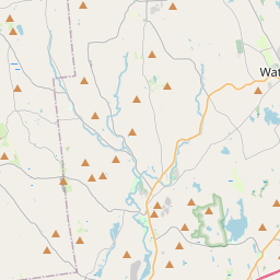
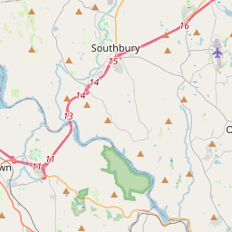
Nearest towns with a guide: Washington (5 km) · New Milford (8 km) · New Preston (10 km). Coordinates 41.60571, -73.33691. Road distances are estimates.
Frequently asked
What is the best time to visit Clamshell Loop?
October to February. Usually quiet; mostly local visitors.
What are the places to visit near Clamshell Loop?
Nearby: Merryall Union Chapel (church, 10 km), Lovers Leap State Park (sanctuary, 11 km), Mount Bushnell State Park Scenic Reserve (sanctuary, 12 km), Lake Waramaug (lake, 13 km), Tory's Cave (cave, 13 km), Mount Tom State Park (sanctuary, 14 km).
Sources. Map data © OpenStreetMap contributors (ODbL). Credits.