



Visiting Wasserfallweg
Typical pattern: moderate; weekends busier. Been there recently? Post today’s status and it shows here for the next traveller.
- Stay on marked paths: rocks near falls are slippery.
- Flow is strongest in the wet season or during snowmelt.
Best time
April to June, when snowmelt and spring rain keep the flow high. Busiest weekends and long holidays. Typical week: Mon light · Tue light · Wed light · Thu light · Fri light · Sat busy · Sun busy.
Places to visit near Wasserfallweg
All places near Varna →
Brennerkofel
viewpoint · 36 km

Canazei e Campitello Al Loro Caduta (World War I & World War II)
viewpoint · 42 km · Provincia di Trento

Königsanger - Monte del Pascolo
viewpoint · 5 km

Kassianspitz - Cima San Cassiano
viewpoint · 5 km

Jakobsspitz - Cima San Giacomo
viewpoint · 6 km

Tagewaldhorn - Corno di Tramin
viewpoint · 8 km
Other waterfalls nearby
Wasserfallweg · South Tyrol11 kmPuntleider Wasserfall · South Tyrol12 kmGufidauner Wasserfall - Cascata di Gudon · South Tyrol16 kmWasserfallweg - Sentiero Delle Cascate · South Tyrol19 kmUnterer Barbianer Wasserfall · South Tyrol19 kmFlitzer Wasserfall - Cascata di Valluzza · South Tyrol19 kmHow to reach Wasserfallweg
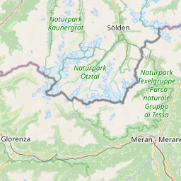
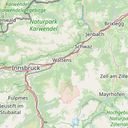
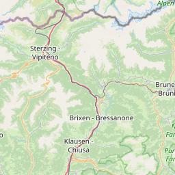
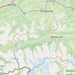
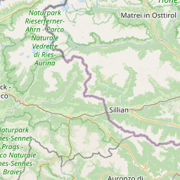
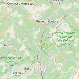
Nearest towns with a guide: Varna (10 km) · Fortezza (11 km) · Velturno (11 km). Coordinates 46.73371, 11.53569. Road distances are estimates.
Frequently asked
What is the best time to visit Wasserfallweg?
April to June, when snowmelt and spring rain keep the flow high. Moderate; weekends busier.
What are the places to visit near Wasserfallweg?
Nearby: Brennerkofel (viewpoint, 36 km), Canazei e Campitello Al Loro Caduta (World War I & World War II) (viewpoint, 42 km), Königsanger - Monte del Pascolo (viewpoint, 5 km), Kassianspitz - Cima San Cassiano (viewpoint, 5 km), Jakobsspitz - Cima San Giacomo (viewpoint, 6 km), Tagewaldhorn - Corno di Tramin (viewpoint, 8 km).
Sources. Map data © OpenStreetMap contributors (ODbL). Credits.