











Visiting Surau
Typical pattern: usually quiet; mostly local visitors. Been there recently? Post today’s status and it shows here for the next traveller.
- Cover shoulders and knees; women usually cover their hair.
- Take off your shoes before the prayer hall.
Hours for this mosque or dargah are not listed yet; Mosques are open for the daily prayers; visitors are usually welcome between them, except Friday midday. is typical for mosques & dargahs in Malaysia. Know them? Post an update.
Best time
Year-round; Fridays, Ramzan and the annual Urs are busiest. Busiest friday prayers; ramzan nights; annual urs for dargahs. Typical week: Mon quiet · Tue quiet · Wed quiet · Thu quiet · Fri packed · Sat light · Sun light.
Places to visit near Surau
All places near Kepala Batas →Rice Transplanter
attraction · 10 km · Kedah
Sree Maha Mariamman Devasthanam Temple
temple · 14 km

Kuil Arulmigu Karumari Amman
temple · 15 km

Fort Cornwallis Lighthouse
fort · 16 km
Queen Victoria Memorial Clock Tower
attraction · 16 km

St George's Church
church · 16 km
How to reach Surau
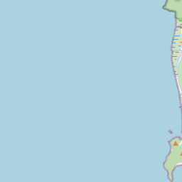
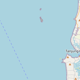
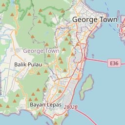
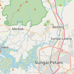
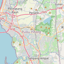
Nearest towns with a guide: Kepala Batas (3 km) · Permatang Kuching (8 km) · Tasek Glugor (10 km). Coordinates 5.49582, 100.42833. Road distances are estimates.
Frequently asked
What is the best time to visit Surau?
Year-round; Fridays, Ramzan and the annual Urs are busiest. Usually quiet; mostly local visitors.
What are the timings of Surau?
Hours for Surau are not published here. Typical for mosques & dargahs in Malaysia: Mosques are open for the daily prayers; visitors are usually welcome between them, except Friday midday. Check locally before a long trip, or see the latest visitor report on this page.
What are the places to visit near Surau?
Nearby: Rice Transplanter (attraction, 10 km), Sree Maha Mariamman Devasthanam Temple (temple, 14 km), Kuil Arulmigu Karumari Amman (temple, 15 km), Fort Cornwallis Lighthouse (fort, 16 km), Queen Victoria Memorial Clock Tower (attraction, 16 km), St George's Church (church, 16 km).
Sources. Map data © OpenStreetMap contributors (ODbL) · Overture Maps Foundation (CDLA-Permissive-2.0). Credits.