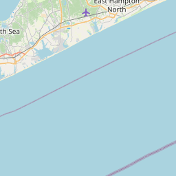
Visiting Lighthouse Point Loop
Typical pattern: usually quiet; mostly local visitors. Been there recently? Post today’s status and it shows here for the next traveller.
- Start early, check the weather and tell someone your route.
Best time
May to September. Typical week: Mon quiet · Tue quiet · Wed quiet · Thu quiet · Fri light · Sat light · Sun light.
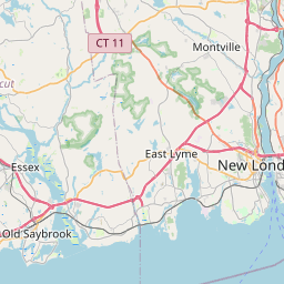
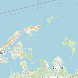
Places to visit near Lighthouse Point Loop
All places near East Haven →
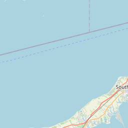
Wardenclyffe Tower Base
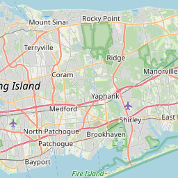
fort · 42 km · Suffolk

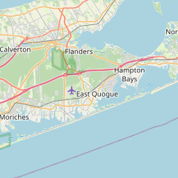
Long Island
river spot · 56 km · Suffolk
Black Rock Fort
fort · 3 km
Short Beach Historic District
fort · 6 km
Upper Davenport and Congress Avenue Historic District
fort · 8 km
Quinnipiac Avenue Historic District
fort · 8 km
Other treks nearby
Wall Street · New York139 kmPutnam County Trailway - Hiking · Putnam84 kmNorth County Trailway - Hiking · Westchester93 kmHudson Valley Greenway Trail (Kingston) · Ulster148 kmRidge Trail · South Central Connecticut Planning Region9 kmRiver Walk · South Central Connecticut Planning Region9 kmHow to reach Lighthouse Point Loop
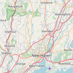
Nearest towns with a guide: East Haven (5 km) · West Haven (6 km) · New Haven (9 km). Coordinates 41.25037, -72.90015. Road distances are estimates.
Frequently asked
What is the best time to visit Lighthouse Point Loop?
May to September. Usually quiet; mostly local visitors.
What are the places to visit near Lighthouse Point Loop?
Nearby: Wardenclyffe Tower Base (fort, 42 km), Long Island (river spot, 56 km), Black Rock Fort (fort, 3 km), Short Beach Historic District (fort, 6 km), Upper Davenport and Congress Avenue Historic District (fort, 8 km), Quinnipiac Avenue Historic District (fort, 8 km).
Sources. Map data © OpenStreetMap contributors (ODbL). Credits.