





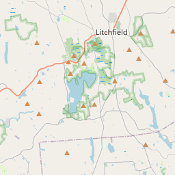
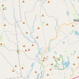
Visiting Pond Trail
Typical pattern: usually quiet; mostly local visitors. Been there recently? Post today’s status and it shows here for the next traveller.
- Start early, check the weather and tell someone your route.
Best time
October to February. Typical week: Mon quiet · Tue quiet · Wed quiet · Thu quiet · Fri light · Sat light · Sun light.
Places to visit near Pond Trail
All places near Kent →
Macedonia Brook State Park
sanctuary · 2 km

Kent Falls
waterfall · 5 km
Wyantenock State Forest
sanctuary · 11 km
Appalachian Trail
trek · 12 km

Lake Waramaug State Park
lake · 12 km

Bulls Bridge Road
lake · 12 km
Other treks nearby
Appalachian Trail · Northwest Hills Planning Region12 kmMattatuck Trail · Northwest Hills Planning Region34 kmJericho Trail · Naugatuck Valley Planning Region45 kmLillinoah Trail · Western Connecticut Planning Region45 kmWhitestone Cliffs Trail · Naugatuck Valley Planning Region48 kmHancock Brook Trail · Naugatuck Valley Planning Region50 kmHow to reach Pond Trail
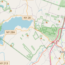
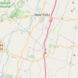
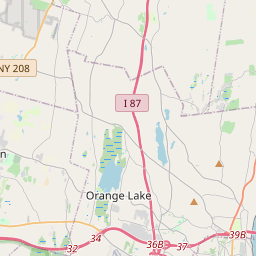
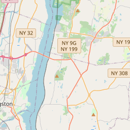
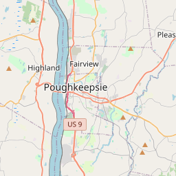
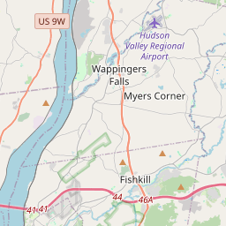
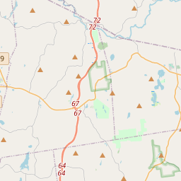
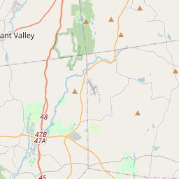
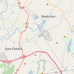
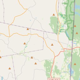
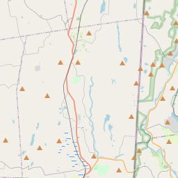
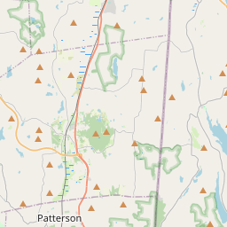
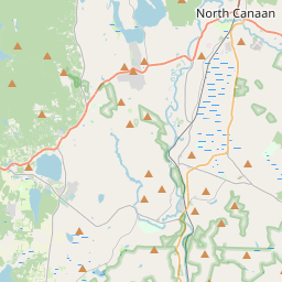
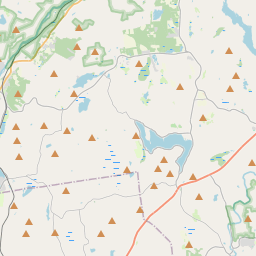
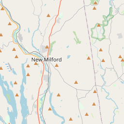
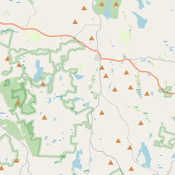
Nearest towns with a guide: Kent (5 km) · Dover Plains (11 km) · New Preston (18 km). Coordinates 41.76130, -73.47523. Road distances are estimates.
Frequently asked
What is the best time to visit Pond Trail?
October to February. Usually quiet; mostly local visitors.
What are the places to visit near Pond Trail?
Nearby: Macedonia Brook State Park (sanctuary, 2 km), Kent Falls (waterfall, 5 km), Wyantenock State Forest (sanctuary, 11 km), Appalachian Trail (trek, 12 km), Lake Waramaug State Park (lake, 12 km), Bulls Bridge Road (lake, 12 km).
Sources. Map data © OpenStreetMap contributors (ODbL). Credits.