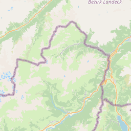
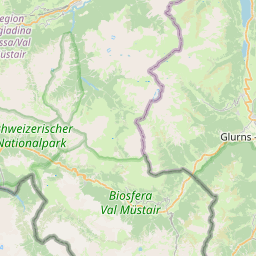
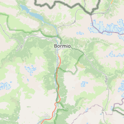
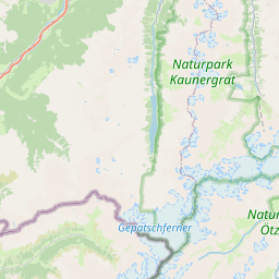
Visiting 20A
Typical pattern: usually quiet; mostly local visitors. Been there recently? Post today’s status and it shows here for the next traveller.
- Start early, check the weather and tell someone your route.
Best time
May to September. Typical week: Mon quiet · Tue quiet · Wed quiet · Thu quiet · Fri light · Sat light · Sun light.
Places to visit near 20A
All places near Meiern →
Etschquelle - Sorgente dell'Adige
attraction · 50 km

Swiss National Park
sanctuary · 56 km · Trentino – Alto Adige/Südtirol
Hinterer Eggenspitz - Cima Sternai
viewpoint · 7 km
Zufrittspitze - Gioveretto
viewpoint · 8 km

Hohe Angelusspitze - L'Angelo Grande
viewpoint · 8 km

Vertainspitze - Cima Vertana
viewpoint · 8 km
Other treks nearby
Alta Via Camuna · Brescia35 kmJakobsweg Naturns - Cammino di San Giacomo Naturno · South Tyrol40 kmJakobsweg Saring - Cammino di San Giacomo Saring · South Tyrol45 kmJakobsweg Marling - Cammino di San Giacomo Marlengo · South Tyrol46 kmJakobsweg Prissian - Cammino di San Giacomo Prissiano · South Tyrol49 kmEuropean Long Distance Path E5 - Italy · Provincia di Trento64 kmHow to reach 20A
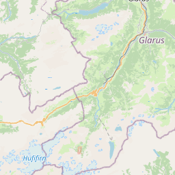
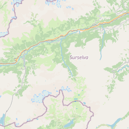
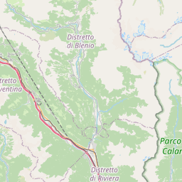
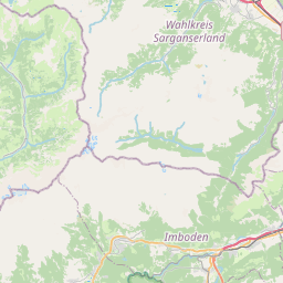
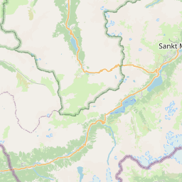
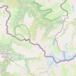
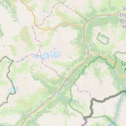
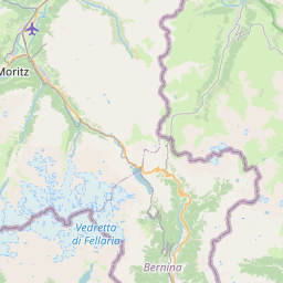
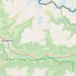
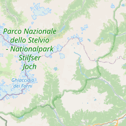
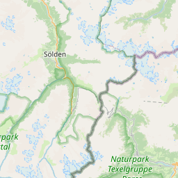
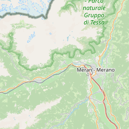
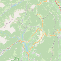
Nearest towns with a guide: Meiern (12 km) · Lasa (17 km) · Silandro (19 km). Coordinates 46.49765, 10.69877. Road distances are estimates.
Frequently asked
What is the best time to visit 20A?
May to September. Usually quiet; mostly local visitors.
What are the places to visit near 20A?
Nearby: Etschquelle - Sorgente dell'Adige (attraction, 50 km), Swiss National Park (sanctuary, 56 km), Hinterer Eggenspitz - Cima Sternai (viewpoint, 7 km), Zufrittspitze - Gioveretto (viewpoint, 8 km), Hohe Angelusspitze - L'Angelo Grande (viewpoint, 8 km), Vertainspitze - Cima Vertana (viewpoint, 8 km).
Sources. Map data © OpenStreetMap contributors (ODbL). Credits.