

Visiting Upper Freeway Wall
Typical pattern: usually quiet; mostly local visitors. Been there recently? Post today’s status and it shows here for the next traveller.
- Go at sunrise or sunset for the best light; carry a warm layer.
Best time
October to April; summers are hot. Typical week: Mon quiet · Tue quiet · Wed quiet · Thu quiet · Fri light · Sat light · Sun light.
Places to visit near Upper Freeway Wall
All places near Twentynine Palms →
Pillar Church of Twentynine Palms
church · 22 km · San Bernardino

Seventh Day Adventist Church of Yucca Valley
church · 32 km · San Bernardino

KUTE-AM (Desert Hot Springs)
church · 38 km

Joshua Tree National Park
sanctuary · 41 km

Church of Christ
church · 43 km

Cathedral City
church · 45 km
How to reach Upper Freeway Wall
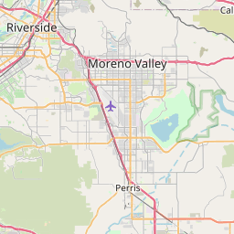
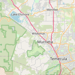
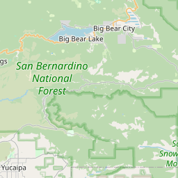
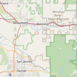
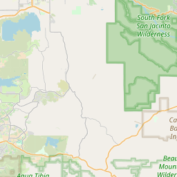
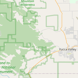
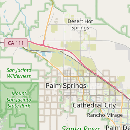
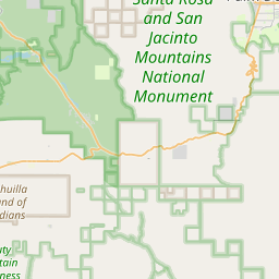
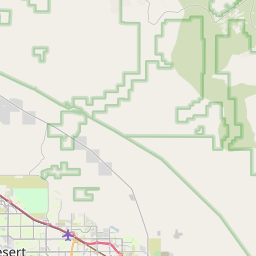
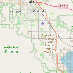
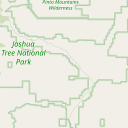
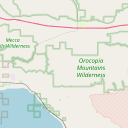
Nearest towns with a guide: Twentynine Palms (21 km) · Joshua Tree (22 km) · Sky Valley (27 km). Coordinates 34.02335, -116.17861. Road distances are estimates.
Frequently asked
What is the best time to visit Upper Freeway Wall?
October to April; summers are hot. Usually quiet; mostly local visitors.
What are the places to visit near Upper Freeway Wall?
Nearby: Pillar Church of Twentynine Palms (church, 22 km), Seventh Day Adventist Church of Yucca Valley (church, 32 km), KUTE-AM (Desert Hot Springs) (church, 38 km), Joshua Tree National Park (sanctuary, 41 km), Church of Christ (church, 43 km), Cathedral City (church, 45 km).
Sources. Map data © OpenStreetMap contributors (ODbL). Credits.