














Visiting Tyburn Monastery
Typical pattern: usually quiet; mostly local visitors. Been there recently? Post today’s status and it shows here for the next traveller.
- Dress modestly and keep quiet during services.
- Some large cathedrals charge an entry fee for tourists.
Hours for this monastery are not listed yet; Churches are usually open during the day, with services on Sunday; visits may be limited during services. is typical for churches in New Zealand. Know them? Post an update.
Best time
Year-round; Christmas and Easter week are busiest. Busiest sunday services; christmas, good friday and easter. Typical week: Mon quiet · Tue quiet · Wed quiet · Thu quiet · Fri light · Sat light · Sun packed.
Places to visit near Tyburn Monastery
All places near Rotorua →


How to reach Tyburn Monastery
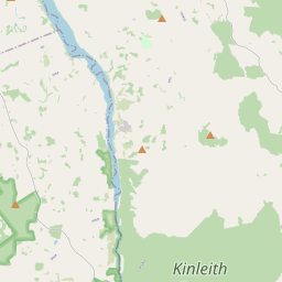
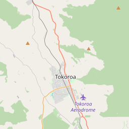
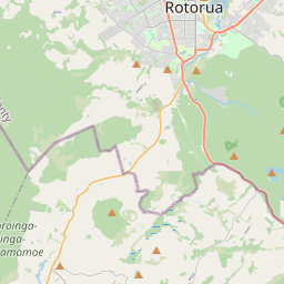
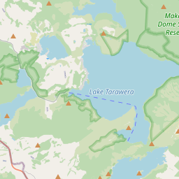
Nearest towns with a guide: Rotorua (35 km) · Tokoroa (38 km) · Taupo (43 km). Coordinates -38.38112, 176.15784. Road distances are estimates.
Frequently asked
What is the best time to visit Tyburn Monastery?
Year-round; Christmas and Easter week are busiest. Usually quiet; mostly local visitors.
What are the timings of Tyburn Monastery?
Hours for Tyburn Monastery are not published here. Typical for churches in New Zealand: Churches are usually open during the day, with services on Sunday; visits may be limited during services. Check locally before a long trip, or see the latest visitor report on this page.
What are the places to visit near Tyburn Monastery?
Nearby: Maungaongaonga (viewpoint, 22 km), Wai-o-Tapu Thermal Wonderland (attraction, 23 km), Champagne Pool (attraction, 23 km), Lady Knox Geyser (attraction, 24 km), Maunga Kākaramea / Rainbow Mountain (viewpoint, 27 km), Waimangu (viewpoint, 28 km).
Sources. Map data © OpenStreetMap contributors (ODbL). Credits.