







Visiting Pixie Rock
Typical pattern: usually quiet; mostly local visitors. Been there recently? Post today’s status and it shows here for the next traveller.
- Go at sunrise or sunset for the best light; carry a warm layer.
Best time
October to February for cool, clear air; July to September for mist and greenery. Typical week: Mon quiet · Tue quiet · Wed quiet · Thu quiet · Fri light · Sat light · Sun light.
Places to visit near Pixie Rock
All places near Twentynine Palms →


How to reach Pixie Rock
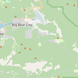
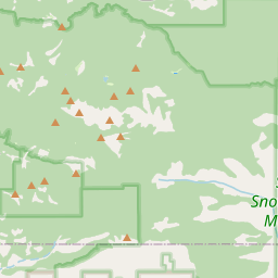
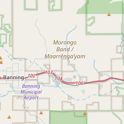
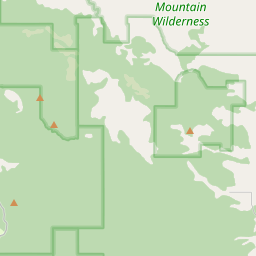
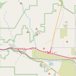
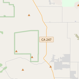
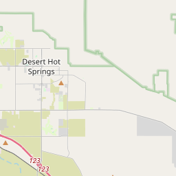
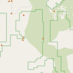
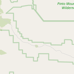
Nearest towns with a guide: Twentynine Palms (13 km) · Joshua Tree (19 km) · Yucca Valley (32 km). Coordinates 34.09454, -116.15634. Road distances are estimates.
Frequently asked
What is the best time to visit Pixie Rock?
October to February for cool, clear air; July to September for mist and greenery. Usually quiet; mostly local visitors.
What are the places to visit near Pixie Rock?
Nearby: Barker Dam (lake, 9 km), Hidden Valley Trail (trek, 11 km), Joshua Mountain (viewpoint, 12 km), Pillar Church of Twentynine Palms (church, 13 km), Ryan Mountain (viewpoint, 15 km), Quail Mountain (viewpoint, 16 km).
Sources. Map data © OpenStreetMap contributors (ODbL). Credits.