










Visiting مسجد جامع کانون فرهنگی شهدای محله ازنا
Typical pattern: usually quiet; mostly local visitors. Been there recently? Post today’s status and it shows here for the next traveller.
- Cover shoulders and knees; women usually cover their hair.
- Take off your shoes before the prayer hall.
Hours for this mosque or dargah are not listed yet; Mosques are open for the daily prayers; visitors are usually welcome between them, except Friday midday. is typical for mosques & dargahs in Iran. Know them? Post an update.
Best time
Year-round. Busiest friday prayers; ramadan nights. Typical week: Mon quiet · Tue quiet · Wed quiet · Thu quiet · Fri packed · Sat light · Sun light.
Places to visit near مسجد جامع کانون فرهنگی شهدای محله ازنا
All places near Shāzand →راسوند
viewpoint · 8 km
Emamzade Abdolah
attraction · 10 km
Sarv
viewpoint · 17 km
پارک آبشار
waterfall · 17 km
Black Mountain
viewpoint · 18 km
یکه دره
viewpoint · 19 km
Other mosques & dargahs nearby
Shahzade Mohamad · Markazi Province21 kmEmamzade Babolmorad · Markazi Province21 kmAbdollah & Amane Khatun Holy Shrine · Markazi Province38 kmImamzade Abdollah · Markazi Province71 kmJame' Mosque of Borujerd · Lorestan Province73 kmEmam Kazem Mosque · Lorestan Province74 kmHow to reach مسجد جامع کانون فرهنگی شهدای محله ازنا
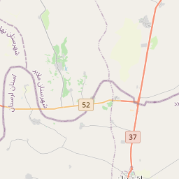
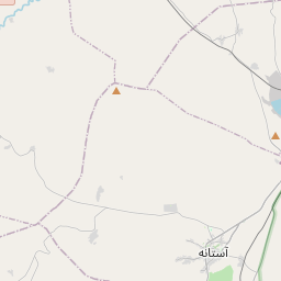
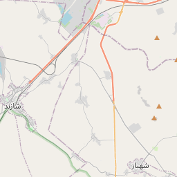
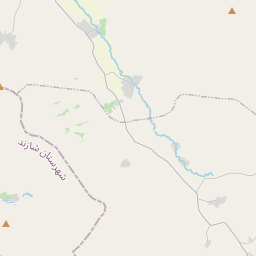
Nearest towns with a guide: Shāzand (1 km) · Arāk (41 km). Coordinates 33.93351, 49.39896. Road distances are estimates.
Frequently asked
What is the best time to visit مسجد جامع کانون فرهنگی شهدای محله ازنا?
Year-round. Usually quiet; mostly local visitors.
What are the timings of مسجد جامع کانون فرهنگی شهدای محله ازنا?
Hours for مسجد جامع کانون فرهنگی شهدای محله ازنا are not published here. Typical for mosques & dargahs in Iran: Mosques are open for the daily prayers; visitors are usually welcome between them, except Friday midday. Check locally before a long trip, or see the latest visitor report on this page.
What are the places to visit near مسجد جامع کانون فرهنگی شهدای محله ازنا?
Nearby: راسوند (viewpoint, 8 km), Emamzade Abdolah (attraction, 10 km), Sarv (viewpoint, 17 km), پارک آبشار (waterfall, 17 km), Black Mountain (viewpoint, 18 km), یکه دره (viewpoint, 19 km).
Sources. Map data © OpenStreetMap contributors (ODbL). Credits.