






Visiting Le Plan D'eau
Typical pattern: usually quiet; mostly local visitors. Been there recently? Post today’s status and it shows here for the next traveller.
Best time
May to September. Typical week: Mon quiet · Tue quiet · Wed quiet · Thu quiet · Fri light · Sat light · Sun light.
Places to visit near Le Plan D'eau
All places near Boismé →
Camps des Polonais (1940)
fort · 26 km
Porte de la Citadelle
fort · 16 km
Cave Du Rêve
cave · 30 km · Vendée
Pertes du Gâchet
cave · 31 km
Oratoire Grotte de L'immaculée Conception
cave · 32 km
Rivière Souterraine de Champdeniers (Entrée Artificielle)
cave · 33 km
How to reach Le Plan D'eau
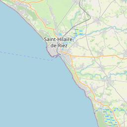
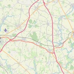
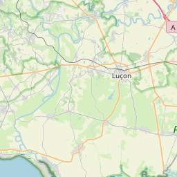
Nearest towns with a guide: Boismé (9 km) · La Chapelle-Saint-Laurent (9 km) · Saint-Aubin-le-Cloud (10 km). Coordinates 46.71938, -0.38841. Road distances are estimates.
Frequently asked
What is the best time to visit Le Plan D'eau?
May to September. Usually quiet; mostly local visitors.
What are the places to visit near Le Plan D'eau?
Nearby: Camps des Polonais (1940) (fort, 26 km), Porte de la Citadelle (fort, 16 km), Cave Du Rêve (cave, 30 km), Pertes du Gâchet (cave, 31 km), Oratoire Grotte de L'immaculée Conception (cave, 32 km), Rivière Souterraine de Champdeniers (Entrée Artificielle) (cave, 33 km).
Sources. Map data © OpenStreetMap contributors (ODbL). Credits.