







Visiting Bongo Beach
Typical pattern: moderate; weekends busier. Been there recently? Post today’s status and it shows here for the next traveller.
- Swim only where lifeguards or flags show it is safe.
Best time
October to March; rough seas and lifeguard warnings June to September. Busiest weekends and long holidays. Typical week: Mon light · Tue light · Wed light · Thu light · Fri light · Sat busy · Sun busy.
Places to visit near Bongo Beach
All places near Mujur →


How to reach Bongo Beach
From Nusa Penida
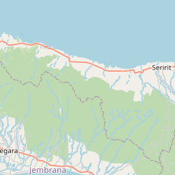
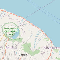
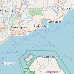
About 110 km by road (88 km straight line). Directions · places near Nusa Penida
From Amed
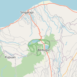
About 122 km by road (98 km straight line). Directions · places near Amed
From Sanur
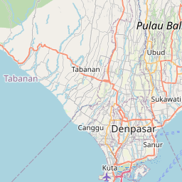
About 149 km by road (119 km straight line). Directions · places near Sanur
Nearest towns with a guide: Mujur (22 km) · Karang Daye (27 km) · Praya (31 km). Coordinates -8.91944, 116.32062. Road distances are estimates.
Frequently asked
What is the best time to visit Bongo Beach?
October to March; rough seas and lifeguard warnings June to September. Moderate; weekends busier.
How far is Bongo Beach from Nusa Penida?
Bongo Beach is about 110 km by road from Nusa Penida (88 km straight line), 122 km from Amed and 149 km from Sanur. Open the road-trip planner on Spotwander for turn-by-turn directions and stops on the way.
What are the places to visit near Bongo Beach?
Nearby: Seganing Waterfall (waterfall, 6 km), Batujai Dam (lake, 27 km), Lombok (river spot, 47 km), Taman Mayura (fort, 53 km), Gitgit Waterfall (waterfall, 54 km), Gereja Santa Maria Immaculata (church, 55 km).
Is Bongo Beach worth visiting?
Bongo Beach is listed as a notable beach in West Nusa Tenggara on Spotwander.
Sources. Map data © OpenStreetMap contributors (ODbL) · Photo: Wikimedia Commons. Credits.