








Visiting Commerce Trail
Typical pattern: usually quiet; mostly local visitors. Been there recently? Post today’s status and it shows here for the next traveller.
Best time
Year-round; the dry season is the most comfortable. Typical week: Mon quiet · Tue quiet · Wed quiet · Thu quiet · Fri light · Sat light · Sun light.
Places to visit near Commerce Trail
All places near Muntinlupa →
The Church of Jesus Christ of Latter-day Saints
church · 16 km · Cavite

Nerecina House
fort · 23 km · Capital District

San Juan House
fort · 23 km · Capital District

Miguel de Benavides
fort · 26 km · Capital District

Saint John the Baptist
beach · 26 km · Capital District
Peace Bell
attraction · 32 km · Eastern Manila District
Other parks nearby
Bayanan Baywalk Park · Southern Manila District3 kmDreamPlay · Southern Manila District16 kmMall of Asia Ampitheater · Southern Manila District18 kmBurgos Circle Park · Southern Manila District19 kmManila Ocean Park · Capital District24 kmPinaglabanan Memorial Shrine · Eastern Manila District26 kmHow to reach Commerce Trail
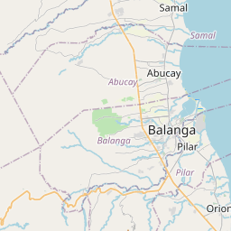
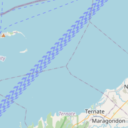
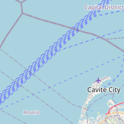
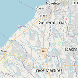
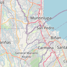
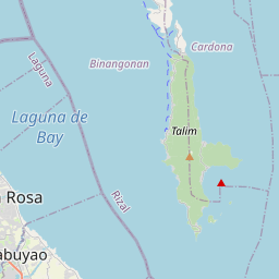
Nearest towns with a guide: Muntinlupa (4 km) · Las Piñas (8 km) · San Pedro (8 km). Coordinates 14.41790, 121.03429. Road distances are estimates.
Frequently asked
What is the best time to visit Commerce Trail?
Year-round; the dry season is the most comfortable. Usually quiet; mostly local visitors.
What are the places to visit near Commerce Trail?
Nearby: The Church of Jesus Christ of Latter-day Saints (church, 16 km), Nerecina House (fort, 23 km), San Juan House (fort, 23 km), Miguel de Benavides (fort, 26 km), Saint John the Baptist (beach, 26 km), Peace Bell (attraction, 32 km).
Sources. Map data © OpenStreetMap contributors (ODbL). Credits.