






Visiting Engineering Ground
Typical pattern: usually quiet; mostly local visitors. Been there recently? Post today’s status and it shows here for the next traveller.
- A small entry fee is common; children are often free.
Hours for this park are not listed yet; City parks usually open early (around 5–6 am for walkers) and close in the evening; some close for a few hours in the afternoon. is typical for parks in India. Know them? Post an update.
Best time
Year-round, evenings. Typical week: Mon quiet · Tue quiet · Wed quiet · Thu quiet · Fri light · Sat light · Sun light.
Places to visit near Engineering Ground
All places near Adra →

How to reach Engineering Ground
From Asansol
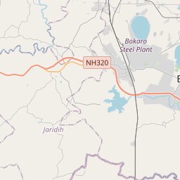
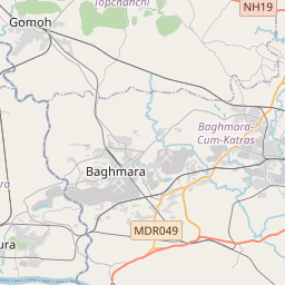
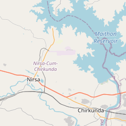
About 47 km by road (37 km straight line). Directions · places near Asansol
From Dhanbad
About 52 km by road (41 km straight line). Directions · places near Dhanbad
From Durgapur
About 82 km by road (66 km straight line). Directions · places near Durgapur
Nearest towns with a guide: Adra (2 km) · Raghunathpur (6 km) · Lakhyabad (24 km). Coordinates 23.49550, 86.66777. Road distances are estimates.
Frequently asked
What is the best time to visit Engineering Ground?
Year-round, evenings. Usually quiet; mostly local visitors.
What are the timings of Engineering Ground?
Hours for Engineering Ground are not published here. Typical for parks in India: City parks usually open early (around 5–6 am for walkers) and close in the evening; some close for a few hours in the afternoon. Check locally before a long trip, or see the latest visitor report on this page.
How far is Engineering Ground from Asansol?
Engineering Ground is about 47 km by road from Asansol (37 km straight line), 52 km from Dhanbad and 82 km from Durgapur. Open the road-trip planner on Spotwander for turn-by-turn directions and stops on the way.
What are the places to visit near Engineering Ground?
Nearby: Moutorh Kali Temple (temple, 17 km), Garh Panchkot (fort, 20 km), Baranti Lake Sunset Point (viewpoint, 26 km), Panchet Dam (lake, 28 km), Nehru Park (park, 40 km), Susunia Hill (viewpoint, 43 km).
Sources. Map data © OpenStreetMap contributors (ODbL). Credits.