







Visiting Đập Bê Đê
Typical pattern: usually quiet; mostly local visitors. Been there recently? Post today’s status and it shows here for the next traveller.
Best time
During and just after the rainy season, when the water is high. Typical week: Mon quiet · Tue quiet · Wed quiet · Thu quiet · Fri light · Sat light · Sun light.
Places to visit near Đập Bê Đê
All places near Đồng Nai →Thác Năm Tầng
waterfall · 13 km
Hồ đạ tẻh
viewpoint · 25 km

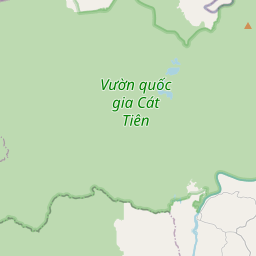
Cat Tien National Park
sanctuary · 27 km · Đồng Nai
Đài tưởng niệm Cát Tiên
fort · 28 km
Thác Cheo Hang Ka
waterfall · 29 km
trại thỏ cát tiên
cave · 29 km
Other lakes, dams & reservoirs nearby
Đập Hàm Thuận · Lâm Đồng Province85 kmHồ Sông Lũy · Lâm Đồng Province128 kmBeautiful Viewpoint of Serepok River and Dam · Đắk Lắk Province143 kmSông Ray Reservoir · Ho Chi Minh City147 kmNhà thờ Họ Đặng Dĩ An · Ho Chi Minh City149 kmĐập thủy điện Đắk Sin 1 · Lâm Đồng Province11 kmHow to reach Đập Bê Đê
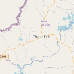
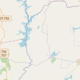
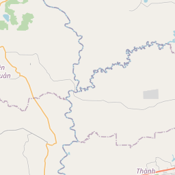
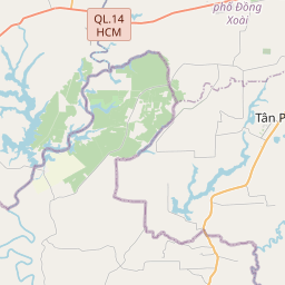
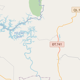
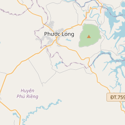
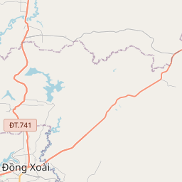
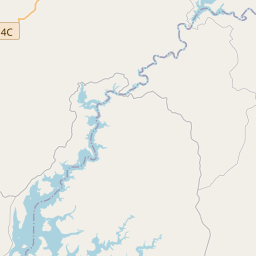
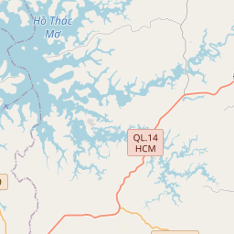
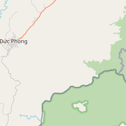
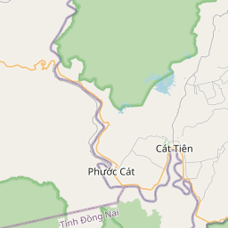
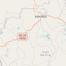
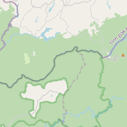
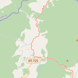
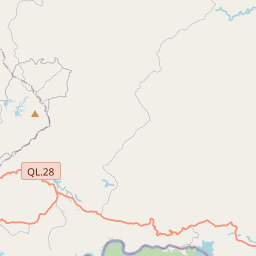
Nearest towns with a guide: Đồng Nai (26 km) · Đạ Tẻh (32 km) · Đức Phong (33 km). Coordinates 11.73796, 107.47303. Road distances are estimates.
Frequently asked
What is the best time to visit Đập Bê Đê?
During and just after the rainy season, when the water is high. Usually quiet; mostly local visitors.
What are the places to visit near Đập Bê Đê?
Nearby: Thác Năm Tầng (waterfall, 13 km), Hồ đạ tẻh (viewpoint, 25 km), Cat Tien National Park (sanctuary, 27 km), Đài tưởng niệm Cát Tiên (fort, 28 km), Thác Cheo Hang Ka (waterfall, 29 km), trại thỏ cát tiên (cave, 29 km).
Sources. Map data © OpenStreetMap contributors (ODbL). Credits.