

Visiting Green Islets
Typical pattern: usually quiet; mostly local visitors. Been there recently? Post today’s status and it shows here for the next traveller.
Best time
September to February; boat services pause in floods. Typical week: Mon quiet · Tue quiet · Wed quiet · Thu quiet · Fri light · Sat light · Sun light.
Places to visit near Green Islets

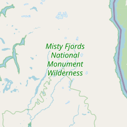
Misty Fjords National Monument Wilderness
sanctuary · 49 km
Lavender Peak
viewpoint · 61 km · Regional District of Kitimat-Stikine

Salmon Glacier
viewpoint · 68 km · Unorganized Borough
Fords Cove
beach · 1 km
Cliff Point
beach · 8 km
Helen Bay
beach · 18 km
Other rivers, islands & mangroves nearby
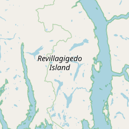
Mary Island · Ketchikan Gateway Borough116 kmBell Island · Ketchikan Gateway Borough119 kmNew Eddystone Rock · Ketchikan Gateway Borough68 kmRevillagigedo Island · Ketchikan Gateway Borough101 kmPearse Island · Ketchikan Gateway Borough102 kmCone Island · Ketchikan Gateway Borough110 kmAll rivers, islands & mangroves in Ketchikan Gateway Borough →
How to reach Green Islets
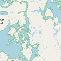
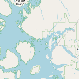
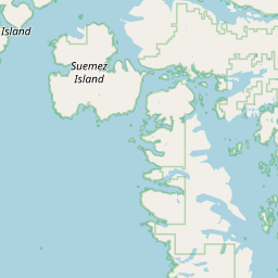
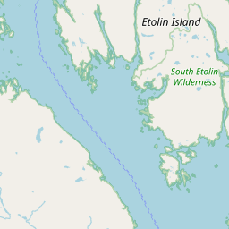
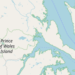
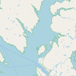
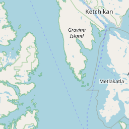
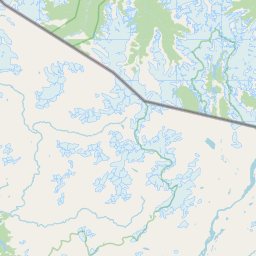
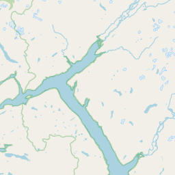
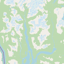
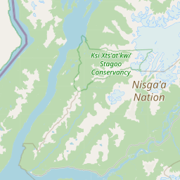
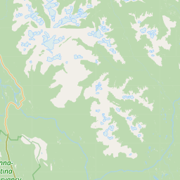
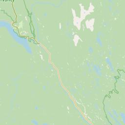
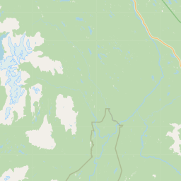
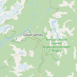
Coordinates 55.62683, -130.10080. Road distances are estimates.
Frequently asked
What is the best time to visit Green Islets?
September to February; boat services pause in floods. Usually quiet; mostly local visitors.
What are the places to visit near Green Islets?
Nearby: Misty Fjords National Monument Wilderness (sanctuary, 49 km), Lavender Peak (viewpoint, 61 km), Salmon Glacier (viewpoint, 68 km), Fords Cove (beach, 0 km), Cliff Point (beach, 8 km), Helen Bay (beach, 18 km).
Sources. Map data © OpenStreetMap contributors (ODbL). Credits.