



Visiting Passmuseum
Typical pattern: usually quiet; mostly local visitors. Been there recently? Post today’s status and it shows here for the next traveller.
- Check opening days and whether tickets must be booked ahead.
Hours for this museum are not listed yet; Many museums close one day a week (often Monday) and on public holidays. is typical for museums in Italy. Know them? Post an update.
Best time
Year-round; check the weekly closing day. Typical week: Mon quiet · Tue quiet · Wed quiet · Thu quiet · Fri light · Sat light · Sun light.
Places to visit near Passmuseum
All places near Moso in Passiria →
Brennerkofel
viewpoint · 38 km · South Tyrol

Etschquelle - Sorgente dell'Adige
attraction · 56 km · South Tyrol

Zugspitze
viewpoint · 72 km · Upper Bavaria

Passo del Rombo
viewpoint · 1 km

Jochköpfl
viewpoint · 3 km

Nederkogel
viewpoint · 8 km · Bezirk Imst
Other museums nearby
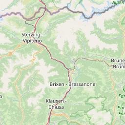
Festung Franzensfeste - Forte di Fortezza · South Tyrol54 kmGolden Roof · Bezirk Innsbruck-Land58 kmGolden Roof Museum · Bezirk Innsbruck-Land58 kmLandesmuseum Ferdinandeum · Bezirk Innsbruck-Land58 kmVolkskunstmuseum · Bezirk Innsbruck-Land58 kmMonumento Alla Vittoria - Siegesdenkmal · South Tyrol61 kmHow to reach Passmuseum
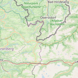
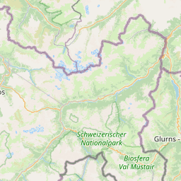
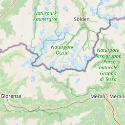
Nearest towns with a guide: Moso in Passiria (12 km) · Sölden (13 km) · San Leonardo in Passiria (19 km). Coordinates 46.90512, 11.09728. Road distances are estimates.
Frequently asked
What is the best time to visit Passmuseum?
Year-round; check the weekly closing day. Usually quiet; mostly local visitors.
What are the timings of Passmuseum?
Hours for Passmuseum are not published here. Typical for museums in Italy: Many museums close one day a week (often Monday) and on public holidays. Check locally before a long trip, or see the latest visitor report on this page.
What are the places to visit near Passmuseum?
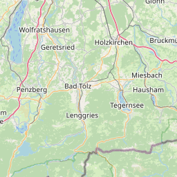
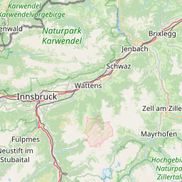
Nearby: Brennerkofel (viewpoint, 38 km), Etschquelle - Sorgente dell'Adige (attraction, 56 km), Zugspitze (viewpoint, 72 km), Passo del Rombo (viewpoint, 0 km), Jochköpfl (viewpoint, 3 km), Nederkogel (viewpoint, 8 km).
Sources. Map data © OpenStreetMap contributors (ODbL). Credits.