Visiting Ботанічний заказник "Жижавський"
Typical pattern: usually quiet; mostly local visitors. Been there recently? Post today’s status and it shows here for the next traveller.
- Early morning and late afternoon are the best times to see animals.
- Keep your distance and do not feed wildlife.
Best time
November to March for sightings; sanctuaries may close in peak monsoon. Typical week: Mon quiet · Tue quiet · Wed quiet · Thu quiet · Fri light · Sat light · Sun light.
Places to visit near Ботанічний заказник "Жижавський"
All places near Kostryzhivka →
Monument to Independence of Ukraine, Horodenka
fort · 14 km · Chernivtsi Raion

Chervonohorod Castle
fort · 17 km

Waterfall Chervonohorod
waterfall · 17 km

Verteba
cave · 25 km · Chernivtsi Raion

Optymistychna Cave
cave · 31 km · Chernivtsi Raion

Язловецький палац
fort · 42 km
Other wildlife, forests & gardens nearby
Ancient and Primeval Beech Forests of the Carpathians and Other Regions of Europe · Ivano-Frankivsk Raion96 kmSvydovets Protected Massif · Nadvirna Raion145 kmDniester Canyon National Nature Park · Chortkiv Raion11 kmКасперівський Ландшафтний заказник · Chortkiv Raion19 kmБотанічна пам'ятка природи "Урочище "Заліщицька діброва в Шутроминцях" · Chortkiv Raion19 kmЛісовий заказник загальнодержавного значення «Дача Галілея» · Chortkiv Raion36 kmHow to reach Ботанічний заказник "Жижавський"
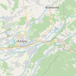
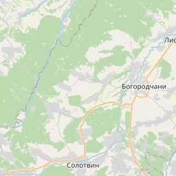
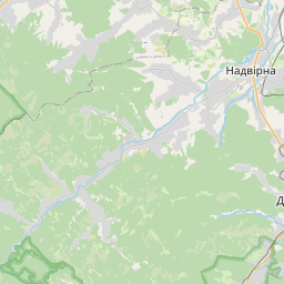
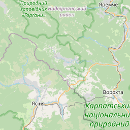
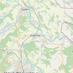
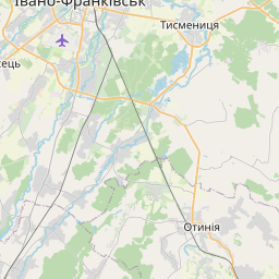
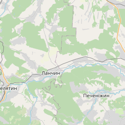
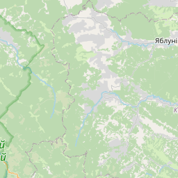
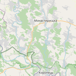
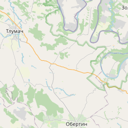
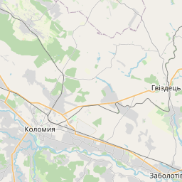
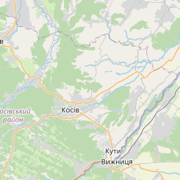
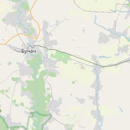
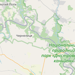
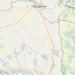
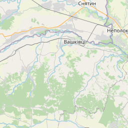
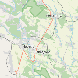
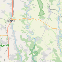
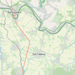
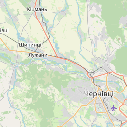
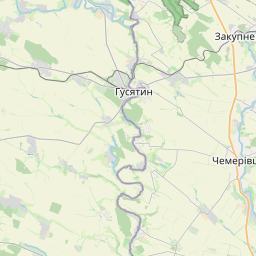
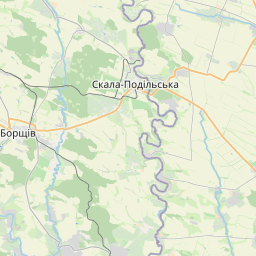
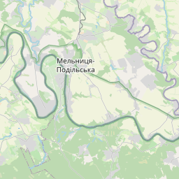
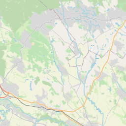
Nearest towns with a guide: Kostryzhivka (8 km) · Zalishchyky (11 km) · Horodenka (14 km). Coordinates 48.69003, 25.64758. Road distances are estimates.
Frequently asked
What is the best time to visit Ботанічний заказник "Жижавський"?
November to March for sightings; sanctuaries may close in peak monsoon. Usually quiet; mostly local visitors.
What are the places to visit near Ботанічний заказник "Жижавський"?
Nearby: Monument to Independence of Ukraine, Horodenka (fort, 14 km), Chervonohorod Castle (fort, 17 km), Waterfall Chervonohorod (waterfall, 17 km), Verteba (cave, 25 km), Optymistychna Cave (cave, 31 km), Язловецький палац (fort, 42 km).
Sources. Map data © OpenStreetMap contributors (ODbL). Credits.