









StatusNo report yet
Best seasonDuring and just after the rainy season, when the water is high
CrowdUsually quiet
Visiting Cap Islet
Typical pattern: usually quiet; mostly local visitors. Been there recently? Post today’s status and it shows here for the next traveller.
Best time
During and just after the rainy season, when the water is high. Typical week: Mon quiet · Tue quiet · Wed quiet · Thu quiet · Fri light · Sat light · Sun light.
Places to visit near Cap Islet
How to reach Cap Islet
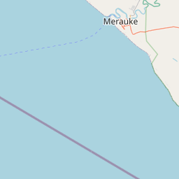
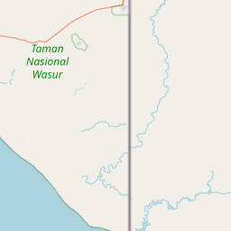
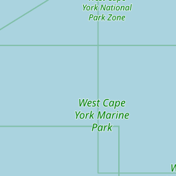
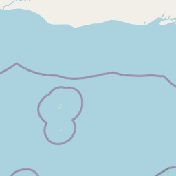
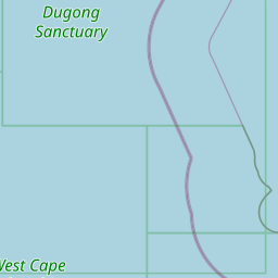
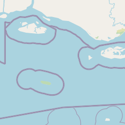
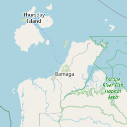
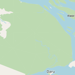
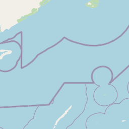
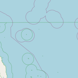
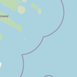
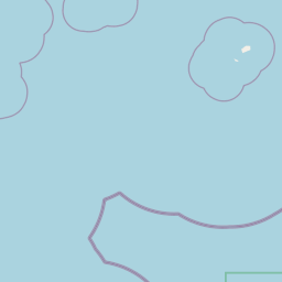
Coordinates -9.83528, 142.71302. Road distances are estimates.
Frequently asked
What is the best time to visit Cap Islet?
During and just after the rainy season, when the water is high. Usually quiet; mostly local visitors.
What are the places to visit near Cap Islet?
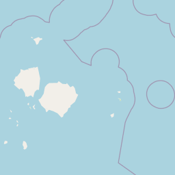
Nearby: Yam Island (river spot, 12 km), Yam Island (river spot, 12 km), Gabba Island (river spot, 14 km), Warraber Island (river spot, 54 km), Saibai Island (river spot, 61 km), Saibai Island (river spot, 61 km).
Sources. Map data © OpenStreetMap contributors (ODbL). Credits.