




Visiting Sid Smith Lane
Typical pattern: moderate; weekends busier. Been there recently? Post today’s status and it shows here for the next traveller.
- Opening hours change with the season; check the last entry time.
- Wear shoes with grip for steps and uneven stone.
Best time
November to March. Busiest weekends and long holidays. Typical week: Mon light · Tue light · Wed light · Thu light · Fri light · Sat busy · Sun busy.
Places to visit near Sid Smith Lane
All places near Lancefield →McHarg Ranges
viewpoint · 15 km · Shire of Mitchell

Hanging Rock
viewpoint · 22 km
Cave Rocks
cave · 25 km
Mitchells Falls
waterfall · 26 km · Shire of Mount Alexander
Queens Falls
waterfall · 27 km · Shire of Mount Alexander
Turpins Falls
waterfall · 27 km · Shire of Mount Alexander
Other forts & heritage nearby
Kyneton Mechanics Institute · Shire of Macedon Ranges29 kmGardener’s Cottage · Shire of Macedon Ranges30 kmCable Tram · Shire of Mitchell30 kmCollege House · Shire of Macedon Ranges30 kmOld Saleyard Shelter · Shire of Macedon Ranges30 kmNorth Plinth · Shire of Macedon Ranges34 kmHow to reach Sid Smith Lane
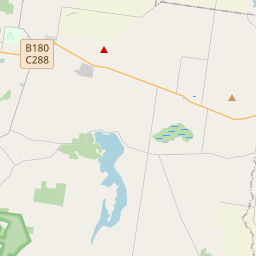
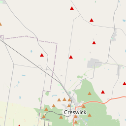
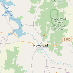
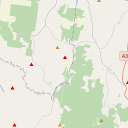
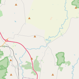
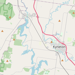
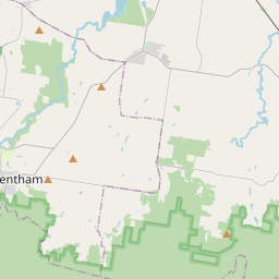
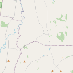
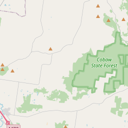
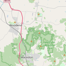
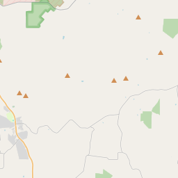
Nearest towns with a guide: Lancefield (11 km) · Romsey (21 km) · Woodend (29 km). Coordinates -37.20170, 144.71130. Road distances are estimates.
Frequently asked
What is the best time to visit Sid Smith Lane?
November to March. Moderate; weekends busier.
What are the places to visit near Sid Smith Lane?
Nearby: McHarg Ranges (viewpoint, 15 km), Hanging Rock (viewpoint, 22 km), Cave Rocks (cave, 25 km), Mitchells Falls (waterfall, 26 km), Queens Falls (waterfall, 27 km), Turpins Falls (waterfall, 27 km).
Sources. Map data © OpenStreetMap contributors (ODbL). Credits.