


Visiting Trinity Methodist
Typical pattern: usually quiet; mostly local visitors. Been there recently? Post today’s status and it shows here for the next traveller.
- Dress modestly and keep quiet during services.
- Some large cathedrals charge an entry fee for tourists.
Hours for this church are not listed yet; Churches are usually open during the day, with services on Sunday; visits may be limited during services. is typical for churches in United Kingdom. Know them? Post an update.
Best time
Year-round; Christmas and Easter week are busiest. Busiest sunday services; christmas, good friday and easter. Typical week: Mon quiet · Tue quiet · Wed quiet · Thu quiet · Fri light · Sat light · Sun packed.
Places to visit near Trinity Methodist
All places near Chelmsford →
Chelmer Valley Riverside
park · 1 km · Greater London
Galleywood Common
park · 6 km · Greater London

Pleshey Castle and Town Enclosure
fort · 10 km · Greater London
St Mary, Buttsbury
church · 12 km · Greater London
Priory Church of St Laurence
church · 14 km · Greater London
St Giles, Mountnessing
church · 15 km · Greater London
How to reach Trinity Methodist
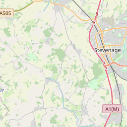
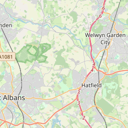
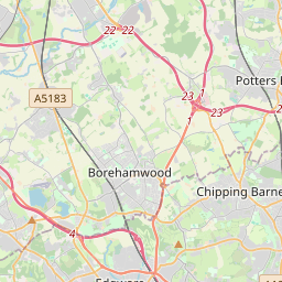
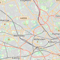
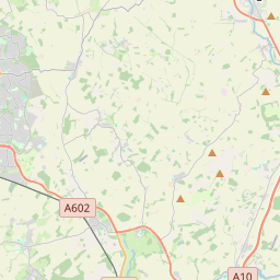
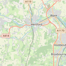
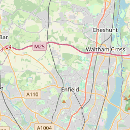
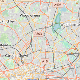
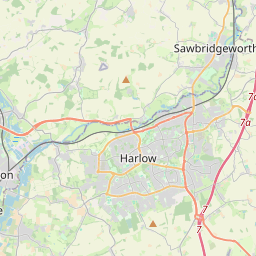
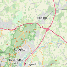
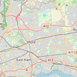
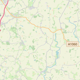
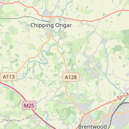
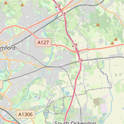
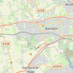
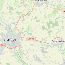
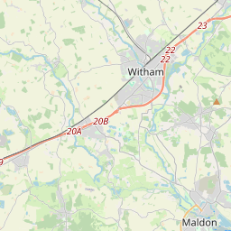
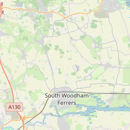
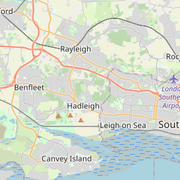
Nearest towns with a guide: Chelmsford (1 km) · Writtle (3 km) · Boreham (7 km). Coordinates 51.73797, 0.46370. Road distances are estimates.
Frequently asked
What is the best time to visit Trinity Methodist?
Year-round; Christmas and Easter week are busiest. Usually quiet; mostly local visitors.
What are the timings of Trinity Methodist?
Hours for Trinity Methodist are not published here. Typical for churches in United Kingdom: Churches are usually open during the day, with services on Sunday; visits may be limited during services. Check locally before a long trip, or see the latest visitor report on this page.
What are the places to visit near Trinity Methodist?
Nearby: Chelmer Valley Riverside (park, 1 km), Galleywood Common (park, 6 km), Pleshey Castle and Town Enclosure (fort, 10 km), St Mary, Buttsbury (church, 12 km), Priory Church of St Laurence (church, 14 km), St Giles, Mountnessing (church, 15 km).
Sources. Map data © OpenStreetMap contributors (ODbL). Credits.