







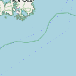
Visiting Pulau Patola
Typical pattern: usually quiet; mostly local visitors. Been there recently? Post today’s status and it shows here for the next traveller.
Best time
September to February; boat services pause in floods. Typical week: Mon quiet · Tue quiet · Wed quiet · Thu quiet · Fri light · Sat light · Sun light.
Places to visit near Pulau Patola
All places near Ampana →
Buka Buka Island
river spot · 27 km
Pulau Togean
river spot · 48 km

Kepulauan Togean National Park
sanctuary · 52 km

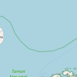
Unauna Island
river spot · 57 km
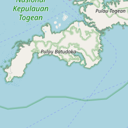
Batu Daka Island
river spot · 21 km
Gunung Tanjungapi
viewpoint · 37 km
How to reach Pulau Patola
From Amed
About 1365 km by road (1092 km straight line). Directions · places near Amed
From Lovina
About 1399 km by road (1119 km straight line). Directions · places near Lovina
From Ubud
About 1415 km by road (1132 km straight line). Directions · places near Ubud
Nearest towns with a guide: Ampana (43 km). Coordinates -0.57590, 121.67389. Road distances are estimates.
Frequently asked
What is the best time to visit Pulau Patola?
September to February; boat services pause in floods. Usually quiet; mostly local visitors.
How far is Pulau Patola from Amed?
Pulau Patola is about 1365 km by road from Amed (1092 km straight line), 1399 km from Lovina and 1415 km from Ubud. Open the road-trip planner on Spotwander for turn-by-turn directions and stops on the way.
What are the places to visit near Pulau Patola?
Nearby: Buka Buka Island (river spot, 27 km), Pulau Togean (river spot, 48 km), Kepulauan Togean National Park (sanctuary, 52 km), Unauna Island (river spot, 57 km), Batu Daka Island (river spot, 21 km), Gunung Tanjungapi (viewpoint, 37 km).
Sources. Map data © OpenStreetMap contributors (ODbL). Credits.