






Visiting Uri I
Typical pattern: usually quiet; mostly local visitors. Been there recently? Post today’s status and it shows here for the next traveller.
- Swimming is dangerous and usually not allowed.
- Photography of dam structures may be restricted; follow the signs.
- Water levels are highest after the monsoon (September–November).
Hours for this lake are not listed yet; Viewpoints and gardens are usually open from morning to sunset; dam crests and gates are often restricted. is typical for lakes, dams & reservoirs in India. Know them? Post an update.
Best time
August to December when reservoirs are full and gates may open. Typical week: Mon quiet · Tue quiet · Wed quiet · Thu quiet · Fri light · Sat light · Sun light.
Places to visit near Uri I
All places near Uri →


How to reach Uri I
From Gulmarg
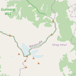
About 26 km by road (21 km straight line). Directions · places near Gulmarg
From Srinagar
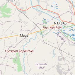
About 71 km by road (57 km straight line). Directions · places near Srinagar
From Pahalgam
About 131 km by road (105 km straight line). Directions · places near Pahalgam
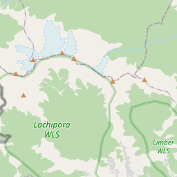
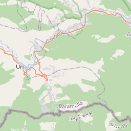
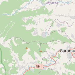
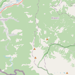
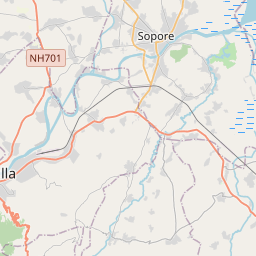
Nearest towns with a guide: Uri (18 km) · Kupwara (18 km) · Baramula (20 km). Coordinates 34.14458, 74.18569. Road distances are estimates.
Frequently asked
What is the best time to visit Uri I?
August to December when reservoirs are full and gates may open. Usually quiet; mostly local visitors.
What are the timings of Uri I?
Hours for Uri I are not published here. Typical for lakes, dams & reservoirs in India: Viewpoints and gardens are usually open from morning to sunset; dam crests and gates are often restricted. Check locally before a long trip, or see the latest visitor report on this page.
How far is Uri I from Gulmarg?
Uri I is about 26 km by road from Gulmarg (21 km straight line), 71 km from Srinagar and 131 km from Pahalgam. Open the road-trip planner on Spotwander for turn-by-turn directions and stops on the way.
What are the places to visit near Uri I?
Nearby: Gulmarg Wildlife Sanctuary (sanctuary, 21 km), Gulnar Park (park, 21 km), دریائے جہلم (river spot, 23 km), Shrunz Waterfall (waterfall, 23 km), Drung Waterfall (waterfall, 29 km), Bangus Valley (viewpoint, 35 km).
Sources. Map data © OpenStreetMap contributors (ODbL). Credits.