




Visiting Gunga_Din
Typical pattern: usually quiet; mostly local visitors. Been there recently? Post today’s status and it shows here for the next traveller.
- Early morning and late afternoon are the best times to see animals.
- Keep your distance and do not feed wildlife.
Best time
November to March. Typical week: Mon quiet · Tue quiet · Wed quiet · Thu quiet · Fri light · Sat light · Sun light.
Places to visit near Gunga_Din
All places near Penola →Yallum Park
fort · 16 km
Cave Swamp
cave · 18 km
Fossil Cave
cave · 46 km
Mud Hole
cave · 47 km
Cave Garden Sink Hole
cave · 47 km · The District Council of Grant
Cave Garden
cave · 47 km · The District Council of Grant
Other wildlife, forests & gardens nearby
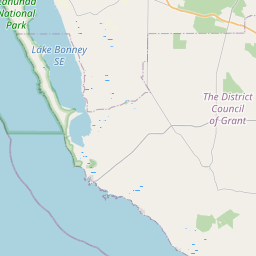
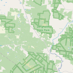
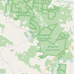
Canunda National Park · South Australia71 kmLower Glenelg National Park · Shire of Glenelg91 kmBudj Bim National Park · Shire of Moyne144 kmMuddy Flat Forest Reserve · Wattle Range Council1 kmSafries · Wattle Range Council5 kmNangwarry Forest Reserve · Wattle Range Council5 kmHow to reach Gunga_Din
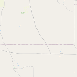
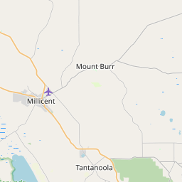
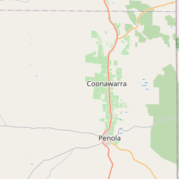
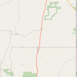
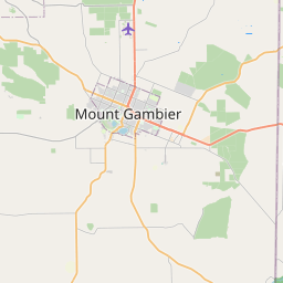
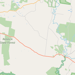
Nearest towns with a guide: Penola (16 km) · Mount Gambier (48 km). Coordinates -37.49110, 140.82149. Road distances are estimates.
Frequently asked
What is the best time to visit Gunga_Din?
November to March. Usually quiet; mostly local visitors.
What are the places to visit near Gunga_Din?
Nearby: Yallum Park (fort, 16 km), Cave Swamp (cave, 18 km), Fossil Cave (cave, 46 km), Mud Hole (cave, 47 km), Cave Garden Sink Hole (cave, 47 km), Cave Garden (cave, 47 km).
Sources. Map data © OpenStreetMap contributors (ODbL). Credits.