








Visiting Mesjid
Typical pattern: usually quiet; mostly local visitors. Been there recently? Post today’s status and it shows here for the next traveller.
- Cover shoulders and knees; women usually cover their hair.
- Take off your shoes before the prayer hall.
Hours for this mosque or dargah are not listed yet; Mosques are open for the daily prayers; visitors are usually welcome between them, except Friday midday. is typical for mosques & dargahs in Indonesia. Know them? Post an update.
Best time
Year-round. Busiest friday prayers; ramadan nights. Typical week: Mon quiet · Tue quiet · Wed quiet · Thu quiet · Fri packed · Sat light · Sun light.
Places to visit near Mesjid
All places near Lamasi →

How to reach Mesjid
From Amed
About 988 km by road (791 km straight line). Directions · places near Amed
From Lovina
About 1025 km by road (820 km straight line). Directions · places near Lovina
From Nusa Penida
About 1038 km by road (831 km straight line). Directions · places near Nusa Penida
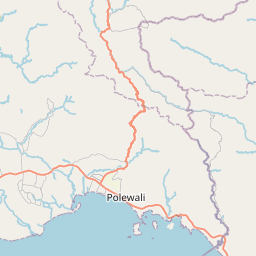
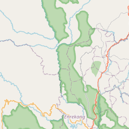
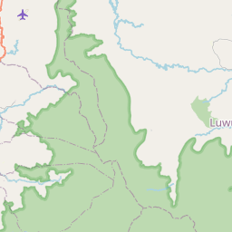
Nearest towns with a guide: Lamasi (3 km) · Walenrang (6 km) · Batuputih (17 km). Coordinates -2.83778, 120.16301. Road distances are estimates.
Frequently asked
What is the best time to visit Mesjid?
Year-round. Usually quiet; mostly local visitors.
What are the timings of Mesjid?
Hours for Mesjid are not published here. Typical for mosques & dargahs in Indonesia: Mosques are open for the daily prayers; visitors are usually welcome between them, except Friday midday. Check locally before a long trip, or see the latest visitor report on this page.
How far is Mesjid from Amed?
Mesjid is about 988 km by road from Amed (791 km straight line), 1025 km from Lovina and 1038 km from Nusa Penida. Open the road-trip planner on Spotwander for turn-by-turn directions and stops on the way.
What are the places to visit near Mesjid?
Nearby: Masjid Miftahul Jannah (dargah, 59 km), GPIL Jemaat Pantilang (church, 5 km), Gereja Toraja Jemaat Batusitanduk (church, 6 km), Palopo Old Mosque (dargah, 22 km), Buntu Tombang (fort, 24 km), Masjid Asy Syura (dargah, 24 km).
Sources. Map data © OpenStreetMap contributors (ODbL) · Overture Maps Foundation (CDLA-Permissive-2.0). Credits.