




Visiting Holy Trinity
Typical pattern: usually quiet; mostly local visitors. Been there recently? Post today’s status and it shows here for the next traveller.
- Dress modestly and keep quiet during services.
- Some large cathedrals charge an entry fee for tourists.
Hours for this church are not listed yet; Churches are usually open during the day, with services on Sunday; visits may be limited during services. is typical for churches in Greece. Know them? Post an update.
Best time
Year-round. Busiest sunday services; christmas and easter. Typical week: Mon quiet · Tue quiet · Wed quiet · Thu quiet · Fri light · Sat light · Sun packed.
Places to visit near Holy Trinity
All places near Skála →
Sparta
fort · 41 km

Archaeological Site of Mystras
fort · 45 km

Ταΰγετος
viewpoint · 46 km

Cranae
river spot · 17 km
Caves of Diros
cave · 18 km
Μαυροσπηλιά
cave · 22 km
Other churches nearby
Παλαιοχριστιανική Βασιλική · Peloponnese Region24 kmSaint Procopius Church · Peloponnese Region40 kmΜονή Περιβλέπτου · Peloponnese Region45 kmPantanassa Monastery · Peloponnese Region45 kmSaint Sophia · Peloponnese Region45 kmSaint Nicholas · Peloponnese Region102 kmAll churches in Peloponnese, Western Greece and the Ionian →
How to reach Holy Trinity
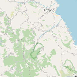
Nearest towns with a guide: Skála (1 km) · Vlachiótis (5 km) · Káto Glykóvrysi (13 km). Coordinates 36.85177, 22.66615. Road distances are estimates.
Frequently asked
What is the best time to visit Holy Trinity?
Year-round. Usually quiet; mostly local visitors.
What are the timings of Holy Trinity?
Hours for Holy Trinity are not published here. Typical for churches in Greece: Churches are usually open during the day, with services on Sunday; visits may be limited during services. Check locally before a long trip, or see the latest visitor report on this page.
What are the places to visit near Holy Trinity?
Nearby: Sparta (fort, 41 km), Archaeological Site of Mystras (fort, 45 km), Ταΰγετος (viewpoint, 46 km), Cranae (river spot, 17 km), Caves of Diros (cave, 18 km), Μαυροσπηλιά (cave, 22 km).
Sources. Map data © OpenStreetMap contributors (ODbL). Credits.