









Visiting Plima Geya
Typical pattern: usually quiet; mostly local visitors. Been there recently? Post today’s status and it shows here for the next traveller.
- Opening hours change with the season; check the last entry time.
- Wear shoes with grip for steps and uneven stone.
Best time
October to February; carry water in summer. Typical week: Mon quiet · Tue quiet · Wed quiet · Thu quiet · Fri light · Sat light · Sun light.
Places to visit near Plima Geya
All places near Wattegama →Muhudu Maha Viharaya - Archaeological Site
Buddhist site · 14 km

Pottuvil Mudhumaha Viharai
Buddhist site · 14 km

Oluvil Lighthouse
beach · 61 km

Dematamal Viharaya
Buddhist site · 64 km · Monaragala

Little Basses Reef Lighthouse
beach · 64 km

Yala National Park
sanctuary · 67 km · Monaragala
How to reach Plima Geya
From Arugam Bay
About 14 km by road (11 km straight line). Directions · places near Arugam Bay
From Ella
About 95 km by road (76 km straight line). Directions · places near Ella
From Batticaloa
About 120 km by road (96 km straight line). Directions · places near Batticaloa
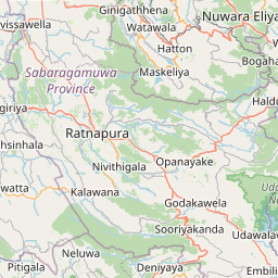
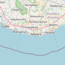
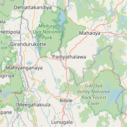
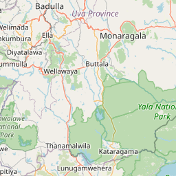
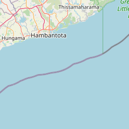
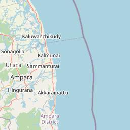
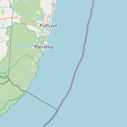
Nearest towns with a guide: Wattegama (37 km). Coordinates 6.86784, 81.73637. Road distances are estimates.
Frequently asked
What is the best time to visit Plima Geya?
October to February; carry water in summer. Usually quiet; mostly local visitors.
How far is Plima Geya from Arugam Bay?
Plima Geya is about 14 km by road from Arugam Bay (11 km straight line), 95 km from Ella and 120 km from Batticaloa. Open the road-trip planner on Spotwander for turn-by-turn directions and stops on the way.
What are the places to visit near Plima Geya?
Nearby: Muhudu Maha Viharaya - Archaeological Site (Buddhist site, 14 km), Pottuvil Mudhumaha Viharai (Buddhist site, 14 km), Oluvil Lighthouse (beach, 61 km), Dematamal Viharaya (Buddhist site, 64 km), Little Basses Reef Lighthouse (beach, 64 km), Yala National Park (sanctuary, 67 km).
Sources. Map data © OpenStreetMap contributors (ODbL). Credits.