













Visiting Temp[le
Typical pattern: usually quiet; mostly local visitors. Been there recently? Post today’s status and it shows here for the next traveller.
- Walk clockwise around stupas and take off your shoes in prayer halls.
- Do not point your feet at images of the Buddha.
Best time
Year-round. Busiest weekends and local festival days. Typical week: Mon quiet · Tue quiet · Wed quiet · Thu quiet · Fri light · Sat light · Sun light.
Places to visit near Temp[le
All places near Hanwella Ihala →Nissaraṇa Forest Monastery
Buddhist site · 7 km · Kegalle
Seethawaka Wet Zone Botanical Gardens
sanctuary · 12 km · Colombo
Korathota Royal Temple
Buddhist site · 19 km · Colombo
Attanagalla Raja Maha Viharaya
Buddhist site · 20 km
Mahamevnawa Bodhignana Buddhist Monastery - Kaduwela
Buddhist site · 21 km · Colombo
Budu Pasebudu Arhanthaka Maha Viharaya
Buddhist site · 23 km · Colombo
Other buddhist sites nearby
Nissaraṇa Forest Monastery · Kegalle7 kmKorathota Royal Temple · Colombo19 kmAttanagalla Raja Maha Viharaya · Gampaha20 kmMahamevnawa Bodhignana Buddhist Monastery - Kaduwela · Colombo21 kmBudu Pasebudu Arhanthaka Maha Viharaya · Colombo23 kmWater World Kelaniya · Gampaha26 kmHow to reach Temp[le
From Colombo
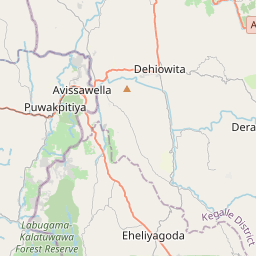
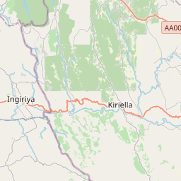
About 37 km by road (30 km straight line). Directions · places near Colombo
From Negombo
About 48 km by road (38 km straight line). Directions · places near Negombo
From Ratnapura
About 55 km by road (44 km straight line). Directions · places near Ratnapura
Nearest towns with a guide: Hanwella Ihala (11 km) · Homagama (25 km) · Gampaha (25 km). Coordinates 6.96889, 80.12828. Road distances are estimates.
Frequently asked
What is the best time to visit Temp[le?
Year-round. Usually quiet; mostly local visitors.
How far is Temp[le from Colombo?
Temp[le is about 37 km by road from Colombo (30 km straight line), 48 km from Negombo and 55 km from Ratnapura. Open the road-trip planner on Spotwander for turn-by-turn directions and stops on the way.
What are the places to visit near Temp[le?
Nearby: Nissaraṇa Forest Monastery (Buddhist site, 7 km), Seethawaka Wet Zone Botanical Gardens (sanctuary, 12 km), Korathota Royal Temple (Buddhist site, 19 km), Attanagalla Raja Maha Viharaya (Buddhist site, 20 km), Mahamevnawa Bodhignana Buddhist Monastery - Kaduwela (Buddhist site, 21 km), Budu Pasebudu Arhanthaka Maha Viharaya (Buddhist site, 23 km).
Sources. Map data © OpenStreetMap contributors (ODbL). Credits.