Visiting Sigła
Typical pattern: usually quiet; mostly local visitors. Been there recently? Post today’s status and it shows here for the next traveller.
- Early morning and late afternoon are the best times to see animals.
- Keep your distance and do not feed wildlife.
Best time
November to March for sightings; sanctuaries may close in peak monsoon. Typical week: Mon quiet · Tue quiet · Wed quiet · Thu quiet · Fri light · Sat light · Sun light.
Places to visit near Sigła
All places near Nowe Sioło →
Kościół Pw. Narodzenia Najświętszej Maryi Panny W Gorajcu
church · 2 km

Cerkiew Świętego Jerzego
church · 9 km

Kościół Pw. Przemienienia Pańskiego
church · 12 km

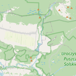
Puszcza Solska Landscape Park
sanctuary · 13 km

Cerkiew Podwyższenia Krzyża Świętego
church · 14 km

Rezerwat Nad Tanwią
sanctuary · 16 km
Other wildlife, forests & gardens nearby
Puszcza Solska Landscape Park · Lubaczów13 kmRezerwat Nad Tanwią · Lubaczów16 kmRezerwat Minokąt · Lubaczów19 kmRezerwat Zmysłówka · Leżajsk74 kmRezerwat Broczówka · Zamość82 kmRezerwat Przełom Hołubli · Przemyśl84 kmAll wildlife, forests & gardens in Subcarpathian Voivodeship →
How to reach Sigła
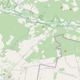
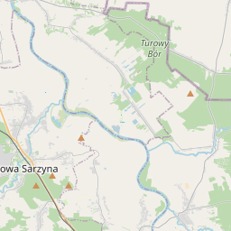
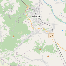
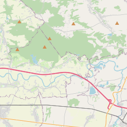
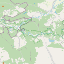
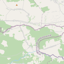
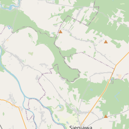
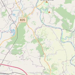
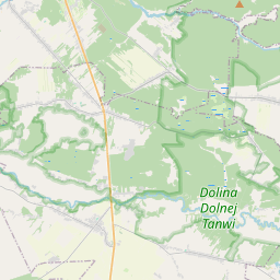
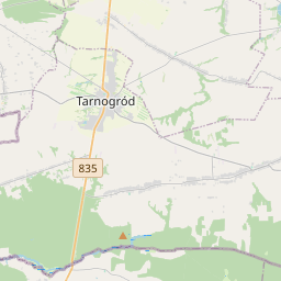
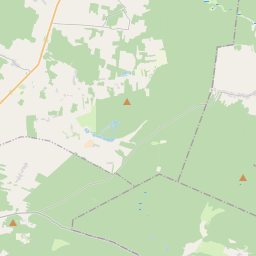
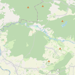
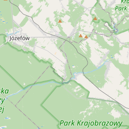
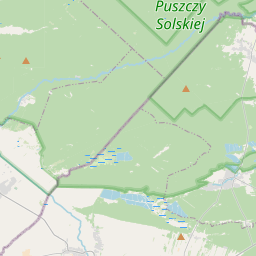
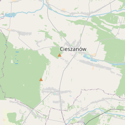
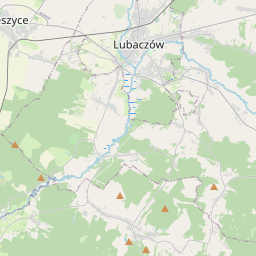
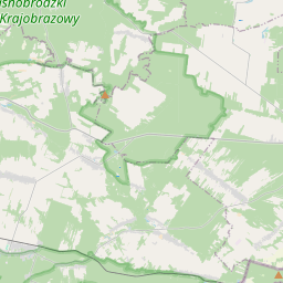
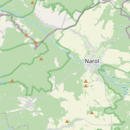
Nearest towns with a guide: Nowe Sioło (9 km) · Cieszanów (9 km) · Narol (14 km). Coordinates 50.28426, 23.21201. Road distances are estimates.
Frequently asked
What is the best time to visit Sigła?
November to March for sightings; sanctuaries may close in peak monsoon. Usually quiet; mostly local visitors.
What are the places to visit near Sigła?
Nearby: Kościół Pw. Narodzenia Najświętszej Maryi Panny W Gorajcu (church, 2 km), Cerkiew Świętego Jerzego (church, 9 km), Kościół Pw. Przemienienia Pańskiego (church, 12 km), Puszcza Solska Landscape Park (sanctuary, 13 km), Cerkiew Podwyższenia Krzyża Świętego (church, 14 km), Rezerwat Nad Tanwią (sanctuary, 16 km).
Sources. Map data © OpenStreetMap contributors (ODbL). Credits.