





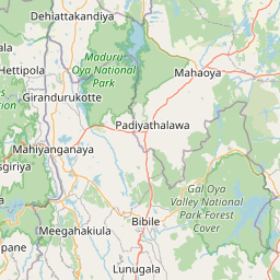
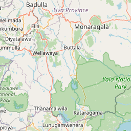

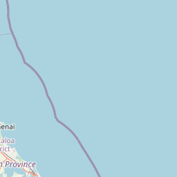
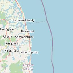




Visiting Temple
Typical pattern: usually quiet; mostly local visitors. Been there recently? Post today’s status and it shows here for the next traveller.
- Take off your shoes where others do and dress modestly (shoulders and knees covered).
- Ask before photographing people at prayer.
Best time
Year-round; festival days and Karthika masam (Nov) draw the biggest crowds. Busiest weekends, festival days and karthika masam (nov). Typical week: Mon quiet · Tue quiet · Wed quiet · Thu quiet · Fri light · Sat light · Sun light.
Places to visit near Temple
All places near Eravur Town →Batticaloa Ghandi Park
park · 24 km
ஸ்ரீ சிந்தாயாத்திரைப் பிள்ளையார் ஆலயம்
temple · 62 km · Ampara

Somawathiya Temple
Buddhist site · 74 km · Polonnaruwa
Somawathi Raja Maha Viharaya
Buddhist site · 74 km · Polonnaruwa
Unnichchai Tank
lake · 16 km

Batticaloa Lighthouse
fort · 23 km
Other temples nearby
ஸ்ரீ சிந்தாயாத்திரைப் பிள்ளையார் ஆலயம் · Ampara62 kmShri Badrakali Amman Hindu Kovil · Trincomalee125 kmThirukoneswaram Kovil · Trincomalee125 kmSri Muthumari Amman Kovil · Matale129 kmSri Maha Kataragama Devalaya - Kandy · Kandy136 kmShri Bhakta Hanuman Temple · Nuwara Eliya147 kmHow to reach Temple
From Batticaloa
About 21 km by road (17 km straight line). Directions · places near Batticaloa
From Polonnaruwa
About 76 km by road (61 km straight line). Directions · places near Polonnaruwa
From Sigiriya
About 110 km by road (88 km straight line). Directions · places near Sigiriya
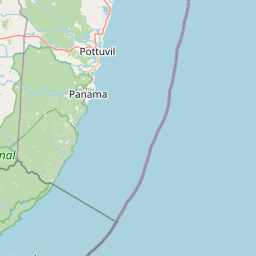
Nearest towns with a guide: Eravur Town (13 km). Coordinates 7.72339, 81.52456. Road distances are estimates.
Frequently asked
What is the best time to visit Temple?
Year-round; festival days and Karthika masam (Nov) draw the biggest crowds. Usually quiet; mostly local visitors.
How far is Temple from Batticaloa?
Temple is about 21 km by road from Batticaloa (17 km straight line), 76 km from Polonnaruwa and 110 km from Sigiriya. Open the road-trip planner on Spotwander for turn-by-turn directions and stops on the way.
What are the places to visit near Temple?
Nearby: Batticaloa Ghandi Park (park, 24 km), ஸ்ரீ சிந்தாயாத்திரைப் பிள்ளையார் ஆலயம் (temple, 62 km), Somawathiya Temple (Buddhist site, 74 km), Somawathi Raja Maha Viharaya (Buddhist site, 74 km), Unnichchai Tank (lake, 16 km), Batticaloa Lighthouse (fort, 23 km).
Sources. Map data © OpenStreetMap contributors (ODbL). Credits.