


StatusNo report yet
Best seasonOctober to April
BusiestWeekends and long holidays
CrowdModerate
Visiting 溝跡
Typical pattern: moderate; weekends busier. Been there recently? Post today’s status and it shows here for the next traveller.
- Opening hours change with the season; check the last entry time.
- Wear shoes with grip for steps and uneven stone.
Best time
October to April; summers are hot. Busiest weekends and long holidays. Typical week: Mon light · Tue light · Wed light · Thu light · Fri light · Sat busy · Sun busy.
Places to visit near 溝跡
All places near Ōita →

How to reach 溝跡
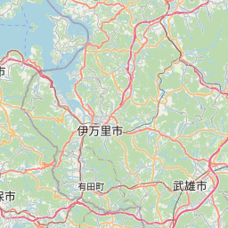
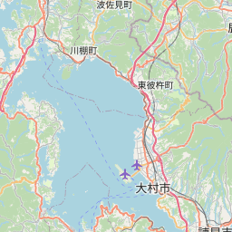
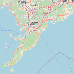
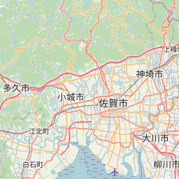
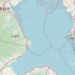
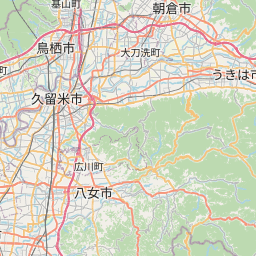
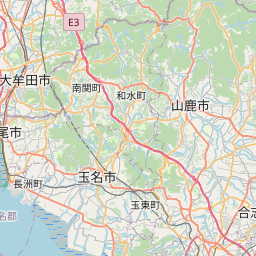
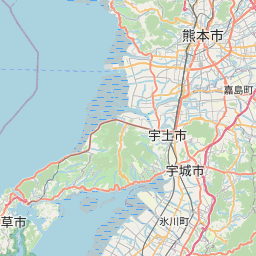
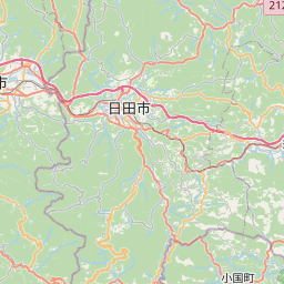
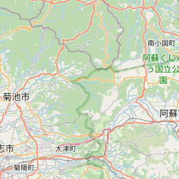
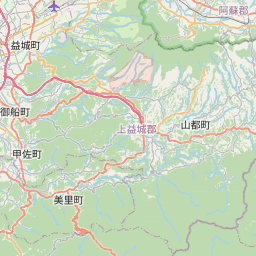
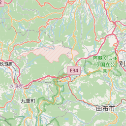
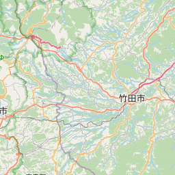
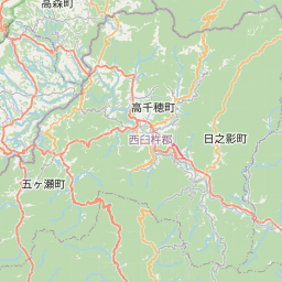
Nearest towns with a guide: Ōita (8 km) · Beppu (13 km) · Tsurusaki (18 km). Coordinates 33.19548, 131.55333. Road distances are estimates.
Frequently asked
What is the best time to visit 溝跡?
October to April; summers are hot. Moderate; weekends busier.
What are the places to visit near 溝跡?
Nearby: Mount Aso (viewpoint, 69 km), Kyushu (river spot, 70 km), 食堂跡 (fort, 0 km), 講堂跡 (fort, 0 km), 回廊跡 (fort, 0 km), 中門跡 (fort, 0 km).
Sources. Map data © OpenStreetMap contributors (ODbL). Credits.