


Visiting Ι.Ν. Τιμίου Προδρόμου
Typical pattern: usually quiet; mostly local visitors. Been there recently? Post today’s status and it shows here for the next traveller.
- Dress modestly and keep quiet during services.
- Some large cathedrals charge an entry fee for tourists.
Hours for this church are not listed yet; Churches are usually open during the day, with services on Sunday; visits may be limited during services. is typical for churches in Greece. Know them? Post an update.
Best time
Year-round. Busiest sunday services; christmas and easter. Typical week: Mon quiet · Tue quiet · Wed quiet · Thu quiet · Fri light · Sat light · Sun packed.
Places to visit near Ι.Ν. Τιμίου Προδρόμου
All places near Agía Paraskeví →Ο κόσμος της καινοτομίας
attraction · 20 km

Αξιός
river spot · 32 km

Aliakmonas
river spot · 40 km

Archaeological Site of Aigai
attraction · 74 km
Anthemountas
river spot · 7 km
Noesis
museum · 11 km
Other churches nearby
Ι.Ν. Οσίας Παρασκευής της Επιβατινής · Central Macedonia12 kmChurch of the Metamorphosis of the Sotir · Central Macedonia21 kmGrigorios Palamas Church (Metropolitan Church of Thessaloniki) · Central Macedonia21 kmSt. Panteleimon · Central Macedonia21 kmHagia Sophia · Central Macedonia21 kmChurch of the Acheiropoietos · Central Macedonia22 kmHow to reach Ι.Ν. Τιμίου Προδρόμου
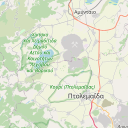
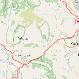
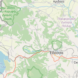
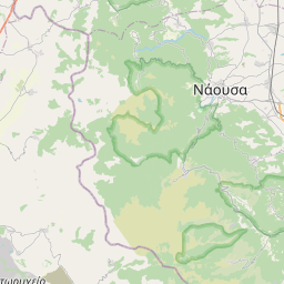
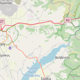
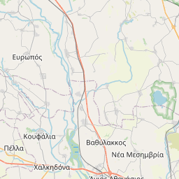
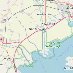
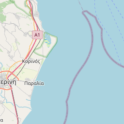
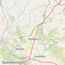
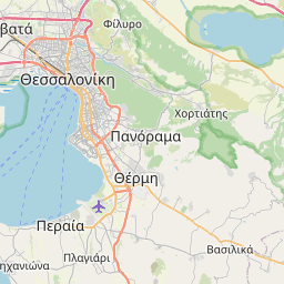
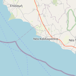
Nearest towns with a guide: Agía Paraskeví (3 km) · Néo Rýsi (4 km) · Kardiá (4 km). Coordinates 40.48889, 23.02137. Road distances are estimates.
Frequently asked
What is the best time to visit Ι.Ν. Τιμίου Προδρόμου?
Year-round. Usually quiet; mostly local visitors.
What are the timings of Ι.Ν. Τιμίου Προδρόμου?
Hours for Ι.Ν. Τιμίου Προδρόμου are not published here. Typical for churches in Greece: Churches are usually open during the day, with services on Sunday; visits may be limited during services. Check locally before a long trip, or see the latest visitor report on this page.
What are the places to visit near Ι.Ν. Τιμίου Προδρόμου?
Nearby: Ο κόσμος της καινοτομίας (attraction, 20 km), Αξιός (river spot, 32 km), Aliakmonas (river spot, 40 km), Archaeological Site of Aigai (attraction, 74 km), Anthemountas (river spot, 7 km), Noesis (museum, 11 km).
Sources. Map data © OpenStreetMap contributors (ODbL) · Overture Maps Foundation (CDLA-Permissive-2.0). Credits.